


What Was America’s First Suburb?
When you think of the origins of American suburbia, the name Levittown may spring to mind. A symbol of post-World War II optimism and domestic comfort, this Long Island development, constructed between 1947 and 1951, is often credited as America’s first modern suburb. Yet Levittown wasn’t technically the first suburb in U.S. history — though as the first mass-produced, federally supported suburban development in the country, it did shape a new national lifestyle — and with it, a new cultural identity.

The First Suburbs
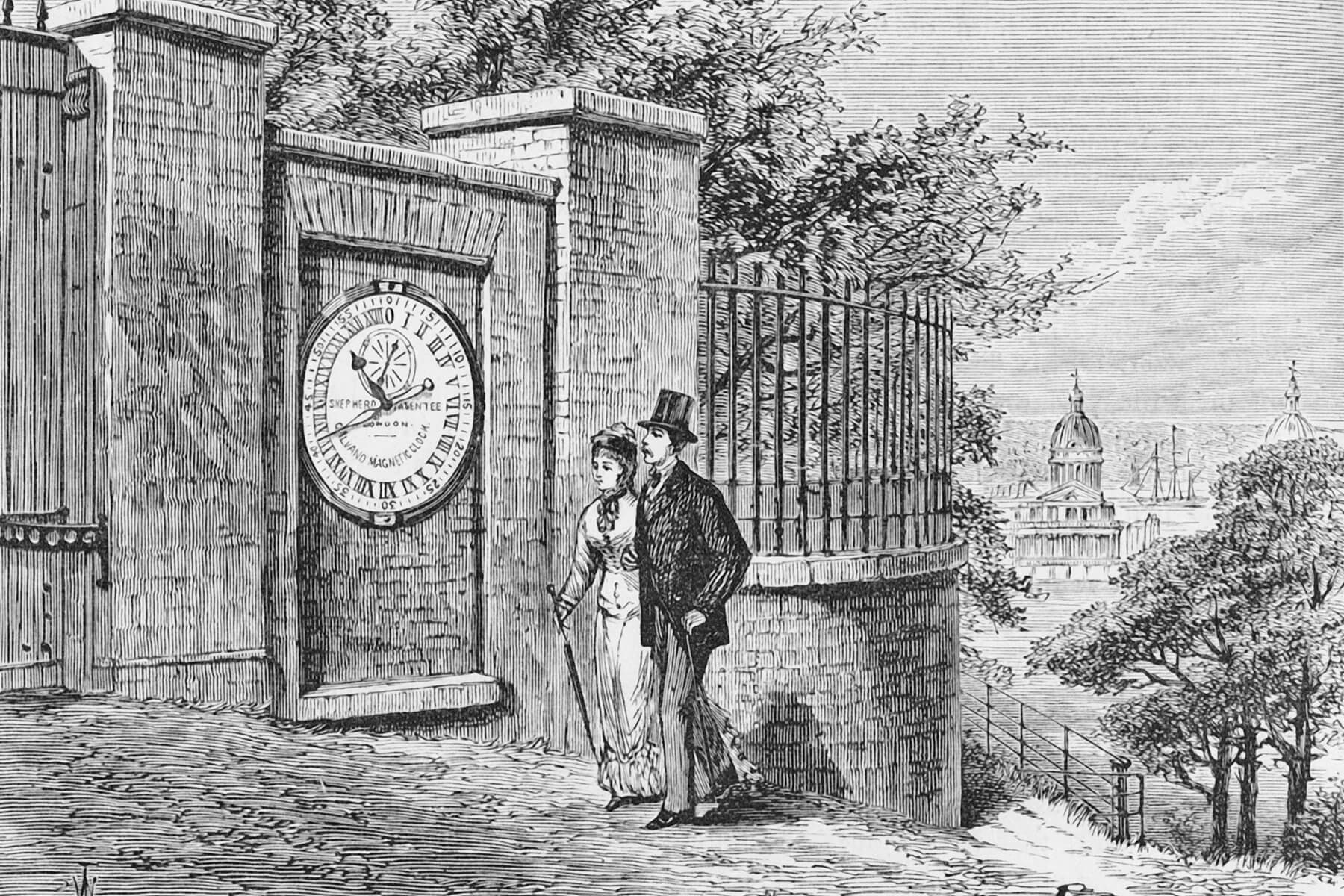
Suburbs in America existed well before Levittown. In the late 19th and early 20th centuries, streetcar suburbs such as Shaker Heights outside Cleveland, Ohio, were planned communities that offered wealthy and middle-class residents an escape from overcrowded, polluted cities. Other early suburbs include Llewellyn Park, New Jersey (developed in the 1850s and often cited as America’s oldest planned community), and Riverside, Illinois (established in 1869).
These early suburbs were heavily influenced by ideals of pastoral living and “moral order,” often with restrictive building codes and racial covenants. They were accessible thanks to innovations in transit — first streetcars, then automobiles — and were valued for their green spaces, quiet, and separation from perceived urban chaos.
However, these enclaves were exclusive, limited in scale, and catered primarily to the upper class. What Levittown introduced was different: suburbia as mass culture, available not just to the wealthy but to a broader segment of the white American middle class.
More from our network


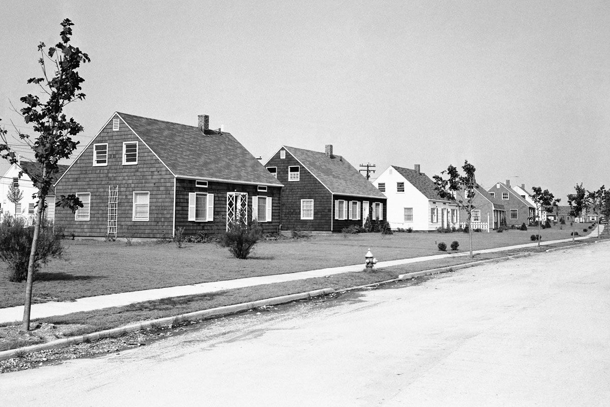
The Birth of Mass Suburbia
Located in Nassau County, New York, Levittown was developed on 4,000 acres of former potato fields and opened in 1947 to astonishing demand. The area had little infrastructure and no housing before real estate developer William Levitt and his family — founders of Levitt & Sons — revolutionized homebuilding. They applied assembly-line techniques to residential construction, building more than 30 homes per day at the company’s peak. These modest, single-story houses came complete with appliances and televisions, radiant-heated slabs (no basements), and “expansion attics” for growing families.
At the time, the U.S. faced a severe housing shortage, worsened by the Great Depression, wartime construction freezes, and then the baby boom. Veterans returning from World War II were eager to start families, and thanks to the GI Bill and Federal Housing Administration (FHA) mortgages, homeownership became a realistic goal. Levittown homes cost about $8,000 (around $115,000 today) — just $400 down with GI Bill benefits. By 1951, more than 17,000 homes had been built.

The Social Fabric of Levittown
Levittown was, for many, the realization of the “American dream”: a safe, affordable, family friendly community where ownership and upward mobility were possible. The development featured nine swimming pools, playing fields, and “village green” shopping centers. Veterans’ organizations thrived. Volunteer clubs and civic engagement were strong, and the suburb was marketed as an ideal place to raise children — especially for white nuclear families.
Yet Levittown also reflected and reinforced profound racial inequalities. The original sales covenants explicitly excluded non-white buyers, even Black veterans who had fought in the same war as the white veterans who settled in the community in droves. In 1948, the U.S. Supreme Court struck down such racially restrictive covenants in Shelley v. Kraemer, but informal segregation persisted. Even today, despite demographic shifts, Black residents remain a small minority in the area.

A Blueprint for the Nation
Levittown wasn’t just one place, however: It was a prototype. The Levitts built additional Levittowns in Pennsylvania, New Jersey, Puerto Rico, and even France. Other developers adopted their techniques. By the 1950s, suburbia was booming nationwide in America. Fueled by federal policies and new highway systems (such as those funded by the 1956 Federal-Aid Highway Act), suburbs spread in rings around U.S. cities.
By 2010, more than half of Americans lived in suburbs. Suburban life became a cornerstone of U.S. culture, shaping everything from television to consumer goods, gender roles, and political identity. The suburban home — with its lawn, carport, and kitchen appliances — became a Cold War emblem of capitalism, even showcased by Vice President Richard Nixon in the famed 1959 “Kitchen Debate” with Russian leader Nikita Khrushchev.

Cultural Consequences
Levittown and its imitators brought enormous social and economic change. Suburban living enabled privacy, safety, and comfort — but also spurred car dependency, urban decline, and sprawl. Cities lost tax bases and industry. Environmental costs rose as commuters flooded highways and spread development into fragile ecosystems. Critics decried suburbia’s conformity and emotional sterility.
Suburbia also entrenched a gendered domestic ideal. While women had worked in factories during the war, the suburban life expected them to return to unpaid roles as homemakers and caregivers. Magazines, advertising, and pop culture sold the ideal of the suburban housewife, even as many women sought community leadership or later, reentry into the workforce.

A Landscape in Flux
Levittown may have launched a new suburban era, but the idea of suburbia has never stood still. Over the decades, American suburbs have become more economically and racially diverse, more politically influential, and — at times — more contested, in part for environmental reasons, as suburban commuter patterns often contribute to pollution. Today, suburbs are as likely to be home to immigrant families and working-class residents as to middle-class commuters. They are shaped not just by federal policy and tract housing, but by school districts, zoning laws, and local activism.
Environmental concerns, too, are reshaping the conversation. The postwar vision of limitless expansion now collides with the realities of climate change, housing scarcity, and infrastructure strain. In response, some suburbs are experimenting with denser housing, public transit expansion, and reimagined “15-minute neighborhoods” (where most residents have access to amenities within a 15-minute walk) that offer urban convenience in suburban settings.
Perhaps the real legacy of Levittown isn’t any one model of living, but a question: Who gets to shape where and how we live? That question continues to drive debates over affordability, access, sustainability, and identity in suburban America today. The suburb, once seen as a destination, is now a dynamic frontier — a place where the future of American life is still being negotiated.