


How Did Sailors Get Drinking Water at Sea?
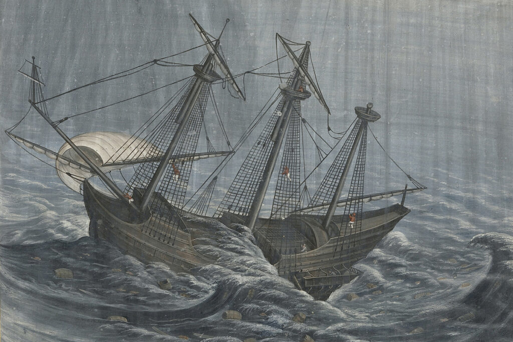
Today, sailing vessels and naval fleets use reverse-osmosis desalination systems to get drinking water right from the ocean. But before the modern age, sailors had one major preoccupation beyond storms, scurvy, shipwreck, and pirates: the need for fresh water.
Surrounded by undrinkable seawater on every side, they were perpetually at risk of dehydration. Fresh water was not merely a comfort but a survival necessity, and obtaining it consumed an extraordinary amount of a sailor’s time, planning, and ingenuity. Here’s a look at how ships kept vital fresh water on hand even when they were miles from land.

Stocking Up in Port
The most fundamental solution was the simplest: Carry as much fresh water as possible from shore before setting out. During the golden age of sail — roughly the 16th to 19th centuries — ships stored their water in large wooden casks or barrels — typically oak — stacked in the hold.
Deciding how much water was needed before setting sail was a key logistical decision, especially given the space constraints on board. The amount depended on the number of crew members on the ship, the length of the voyage, and how much time there was between stops (if there were any). Once the ship set sail, water had to be strictly rationed — each sailor typically received around half a gallon per day — and running short before the next landfall was a constant and very real danger.
Limited space for provisions wasn’t the only problem — the wooden casks were also imperfect containers. Water stored in them quickly became stale, developed algae, and could be contaminated by wood decay, turning the precious fresh water into a foul-smelling liquid that could pose a severe health risk to anyone who drank it. On longer voyages, therefore, prestored water alone was rarely enough to keep sailors healthy and hydrated.
More from our network


Pit Stops and Pirate Trades
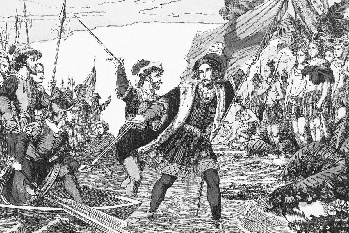
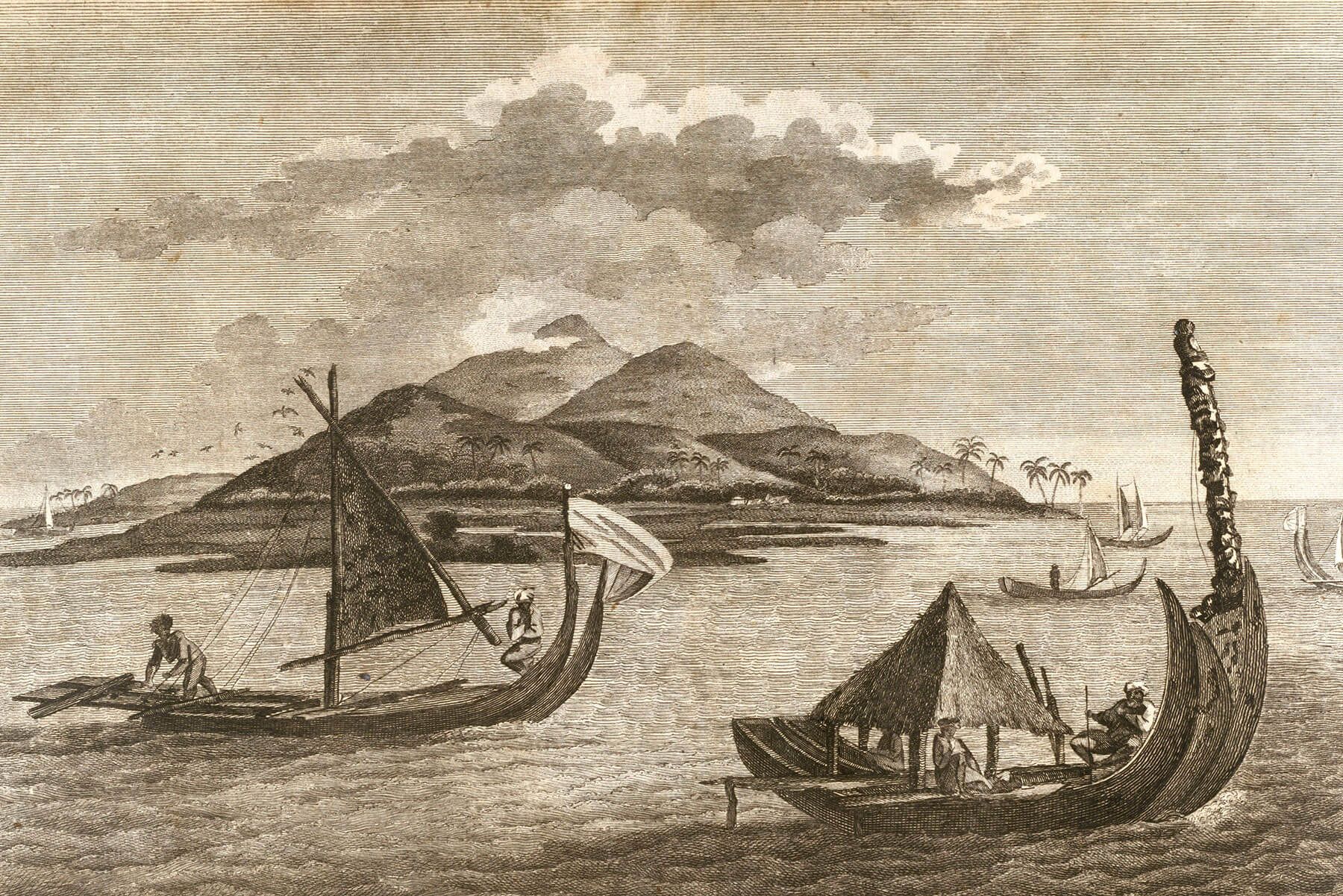
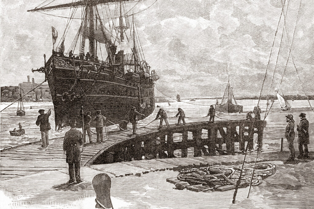
No ship, no matter the size, could carry unlimited fresh water, so regular stops to refill were an essential part of almost every long voyage. Captains planned their routes carefully around known sources of fresh water. Sometimes, water could be obtained at ports and settlements. In his notes, Edward Cooke — a privateer on a round-the-world voyage in the early 18th century — recorded how a Dutch settlement at the Cape of Good Hope had “excellent Water, which is fill’d at the Bridge with Ease, being brought thither in wooden Pipes from the Bottom of the Hill.”
But restocking water supplies wasn’t always so straightforward. Making landfall to replenish water was nearly always the most urgent priority when supplies ran low, and this often had to be done by collecting water from natural sources — springs, rivers, and streams found along coastlines, islands, and river mouths. Ideally, this would be pristine fresh water, but when ships were running dangerously low, naturally occurring brackish water — saltier than fresh water, but not as salty as seawater — was sometimes loaded on board when nothing better could be found. This, however, was a short-term solution at best.
The locations of reliable fresh water sources were so valuable that they were carefully recorded in navigational journals. These were often passed between allied sailors, serving as some of the most vital sources of information a captain could possess. Being on good terms with a fellow captain offered another form of acquiring water: refilling from other ships. When a ship was low on water, it could sometimes trade with another vessel that had an excess. Even pirates sometimes supplied each other with water, proving that there is some honor among thieves.
Saved by the Storm
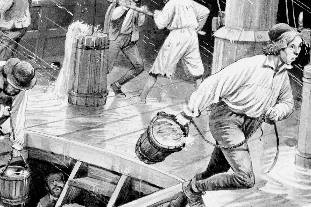
Rainfall offered an alternative source of potable water, but this was, of course, dependent on the whims of the weather. If it rained hard enough, the water could be collected in any available container, including the ship’s main water casks. Alternatively, sailors could funnel rainwater from the sails into storage containers. But the rain had to be allowed to first wash away the accumulated salt spray from the surface of the sail before the water was fit to collect for drinking.
Rain was sometimes the difference between life and death. Silas Told, an apprentice sailor in the 18th century, found himself close to death from thirst in one of his early voyages, but was saved by the weather. Writing in An Account of the Life, and Dealings of God With Silas Told &c., he explained how “had it not been for a heavy shower of rain, off the island of Cuba, we must have perished for want.”
In such cases, when initial water stocks had run dry and land was nowhere to be seen, rainfall could be the one thing to save the lives of thirsty sailors — sailors who found themselves, in the words of Coleridge, surrounded by “Water, water, every where, Nor any drop to drink.”