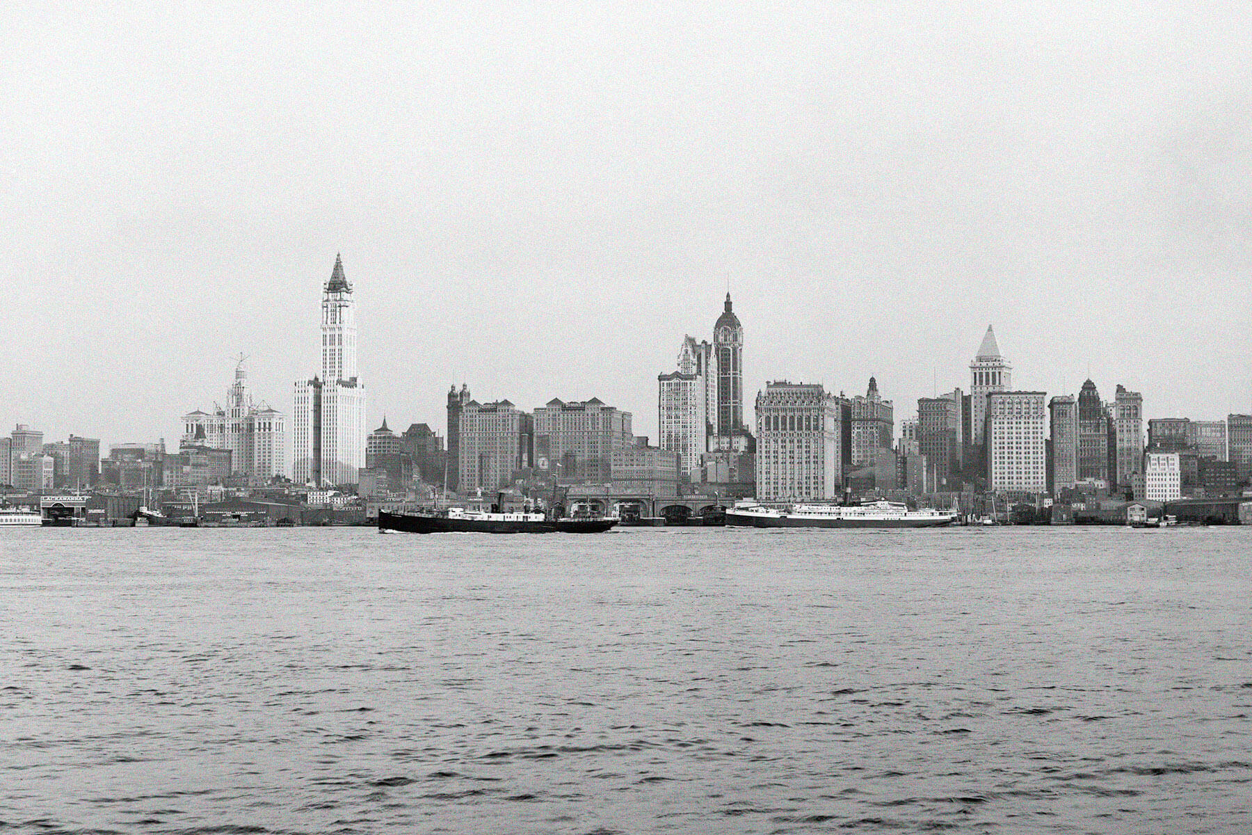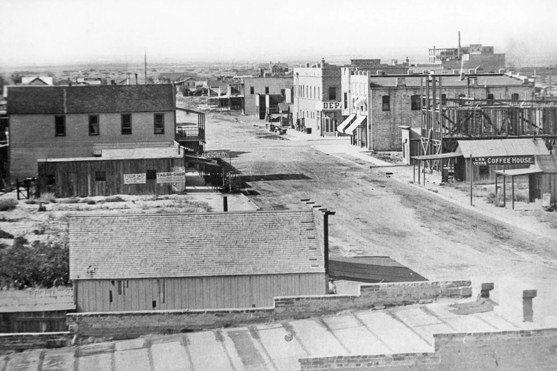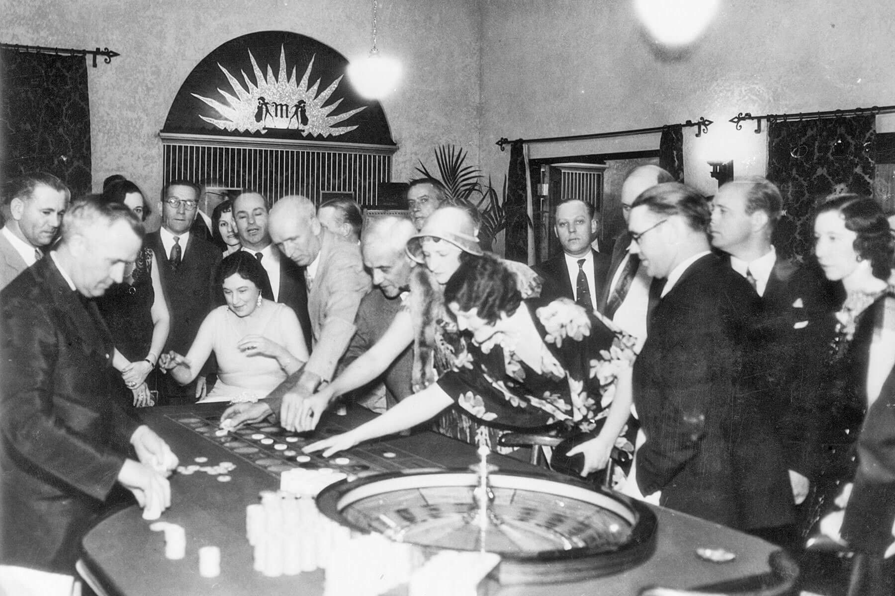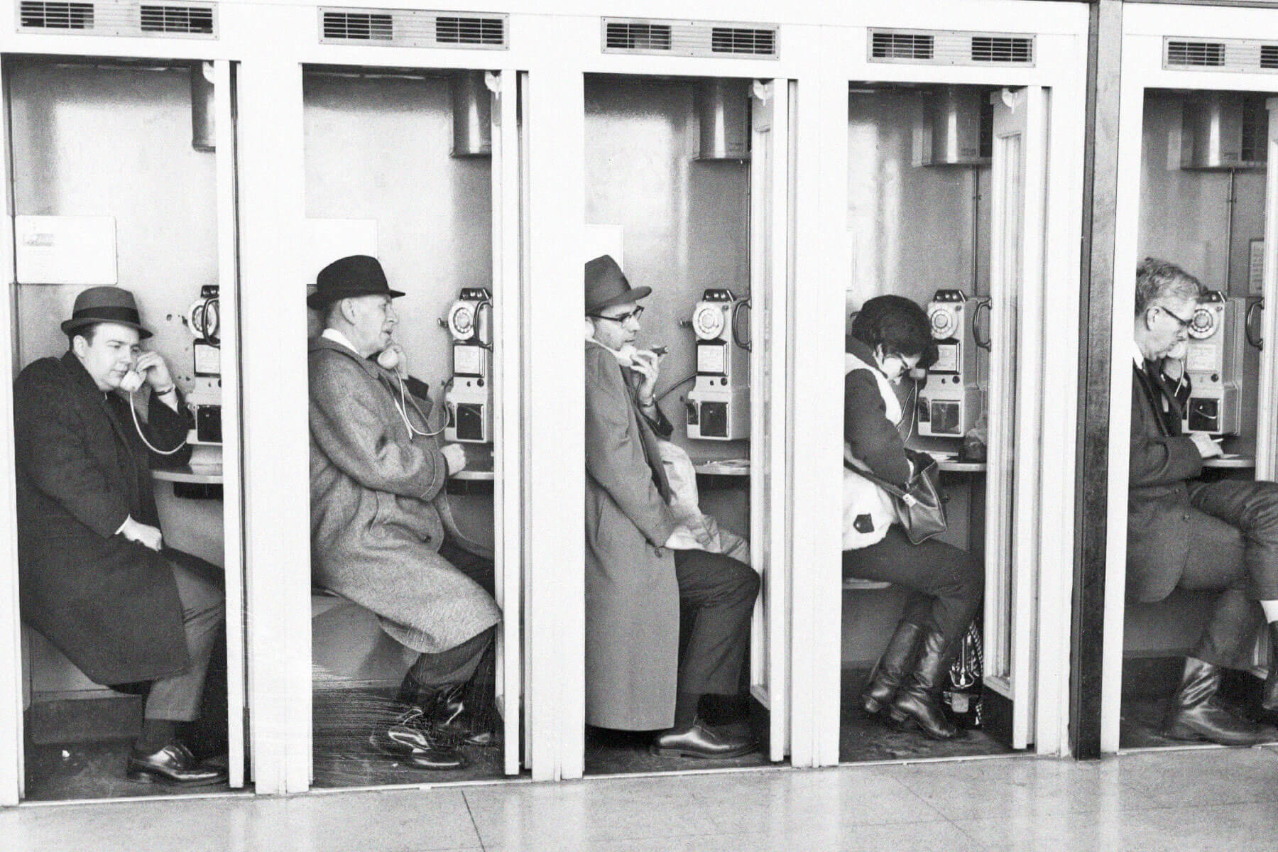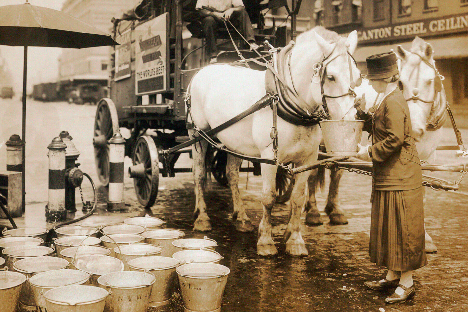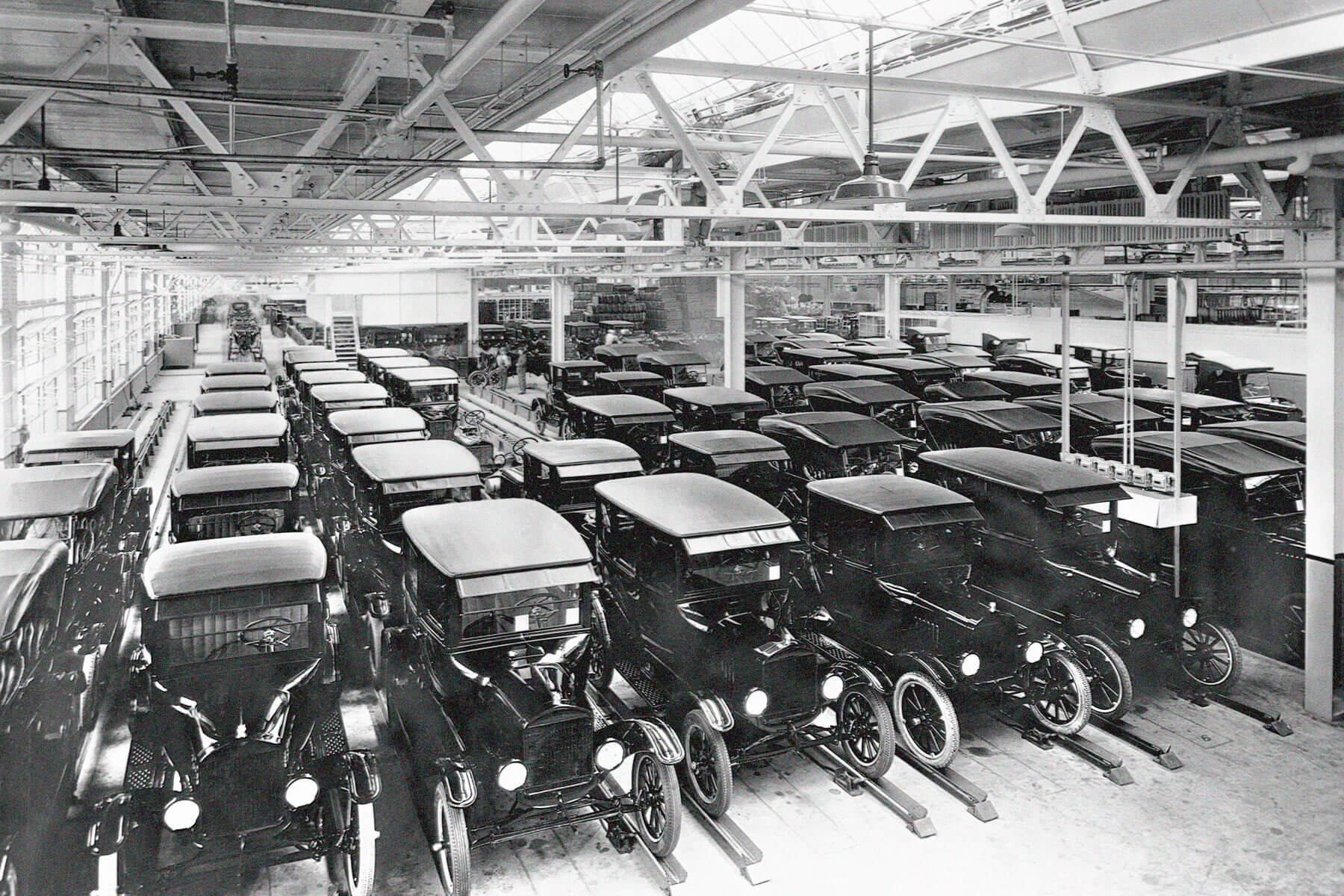


5 Cities That Looked Completely Different 50 Years Ago
Every city experiences noticeable changes with the march of time. Political leaders come and go, businesses appear and disappear, old landmarks are destroyed and new ones erected. To paraphrase the ancient Greek philosopher Heraclitus, nothing is permanent within these centers of human activity except change itself.
That said, some locales certainly change more dramatically than others, due to a variety of factors. While many of us have been around long enough to remember things from 50 years ago, these before-and-after photos from five cities around the world have the mid-1970s looking like a distant era.
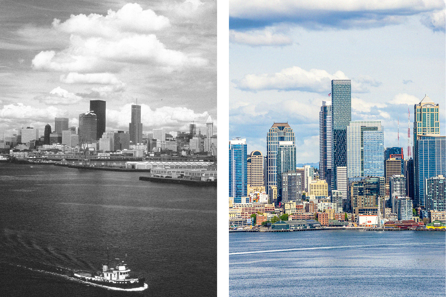
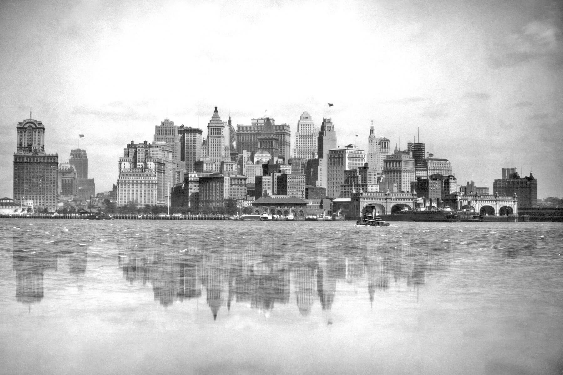
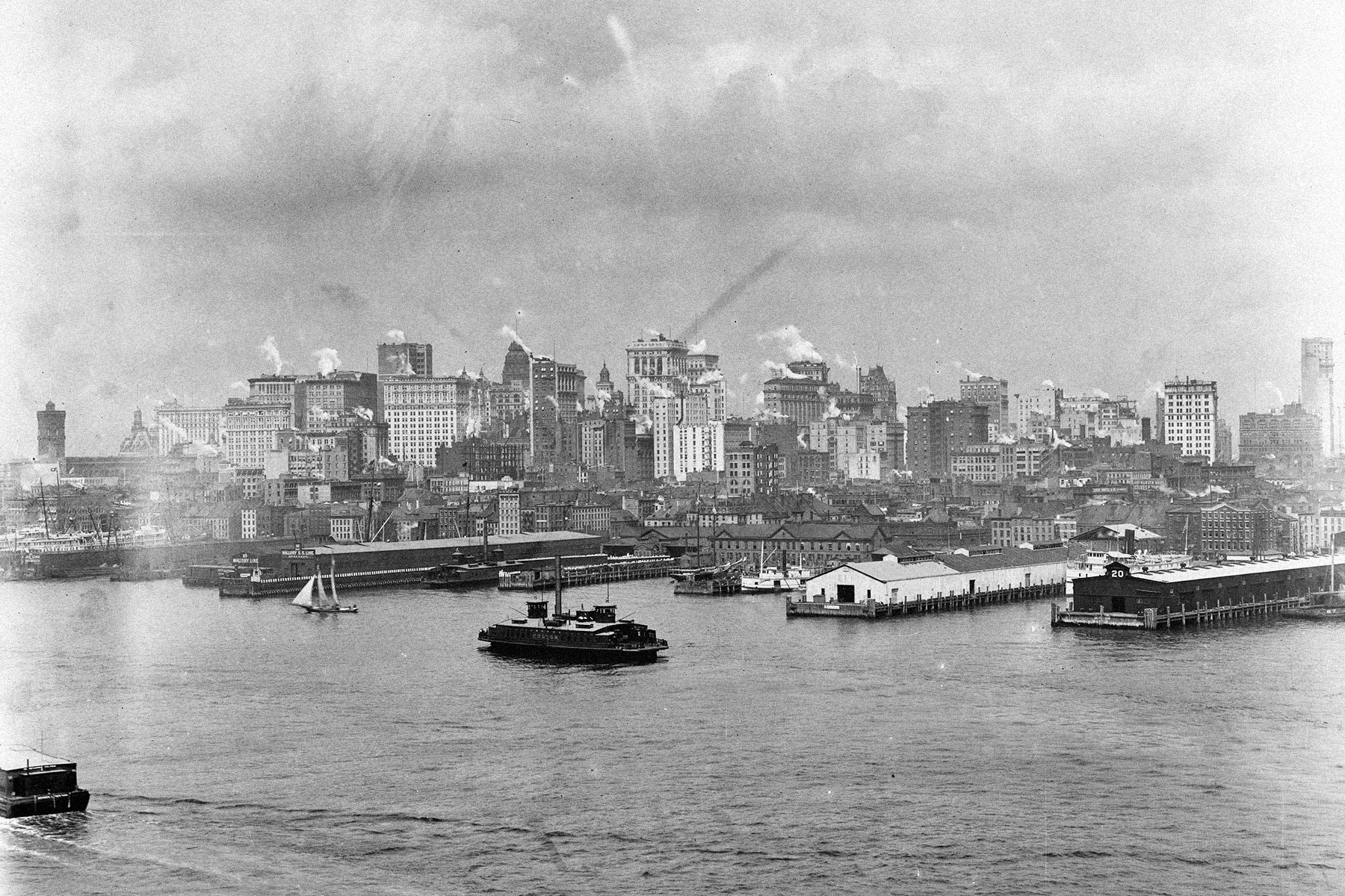
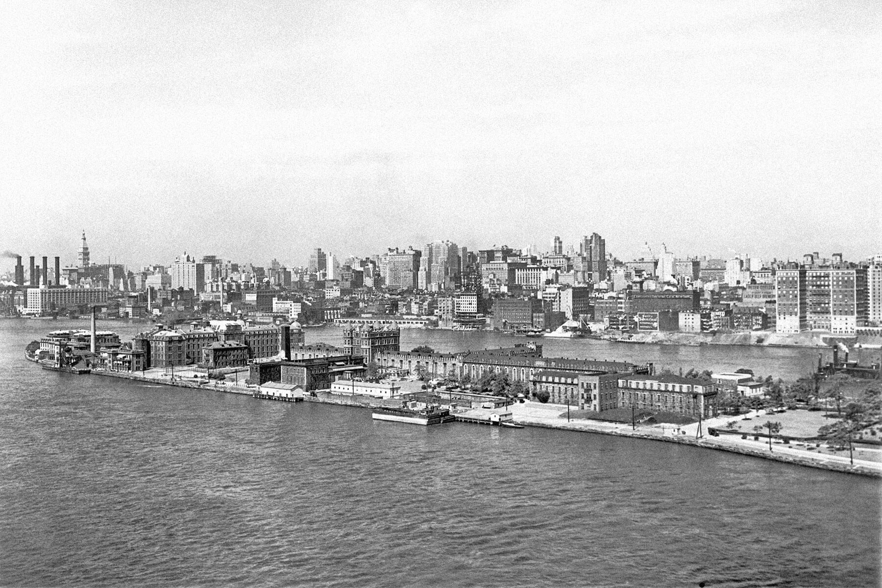
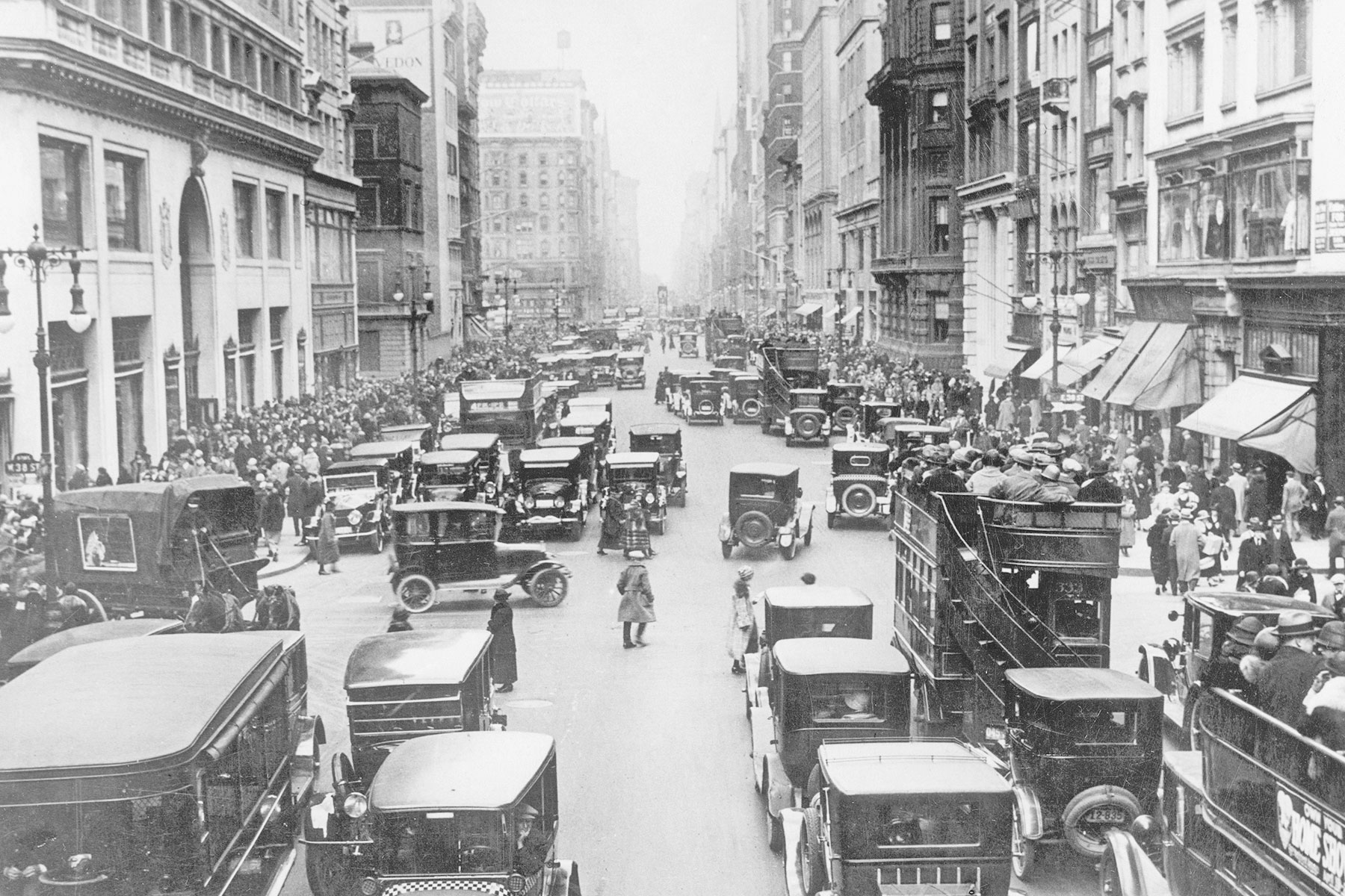
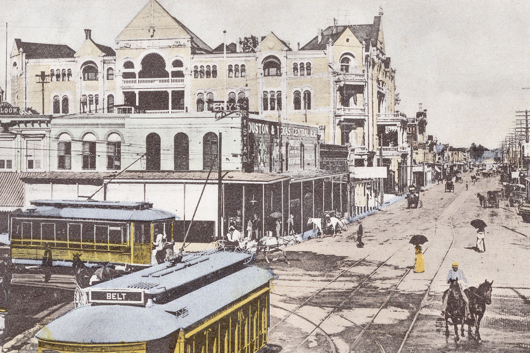
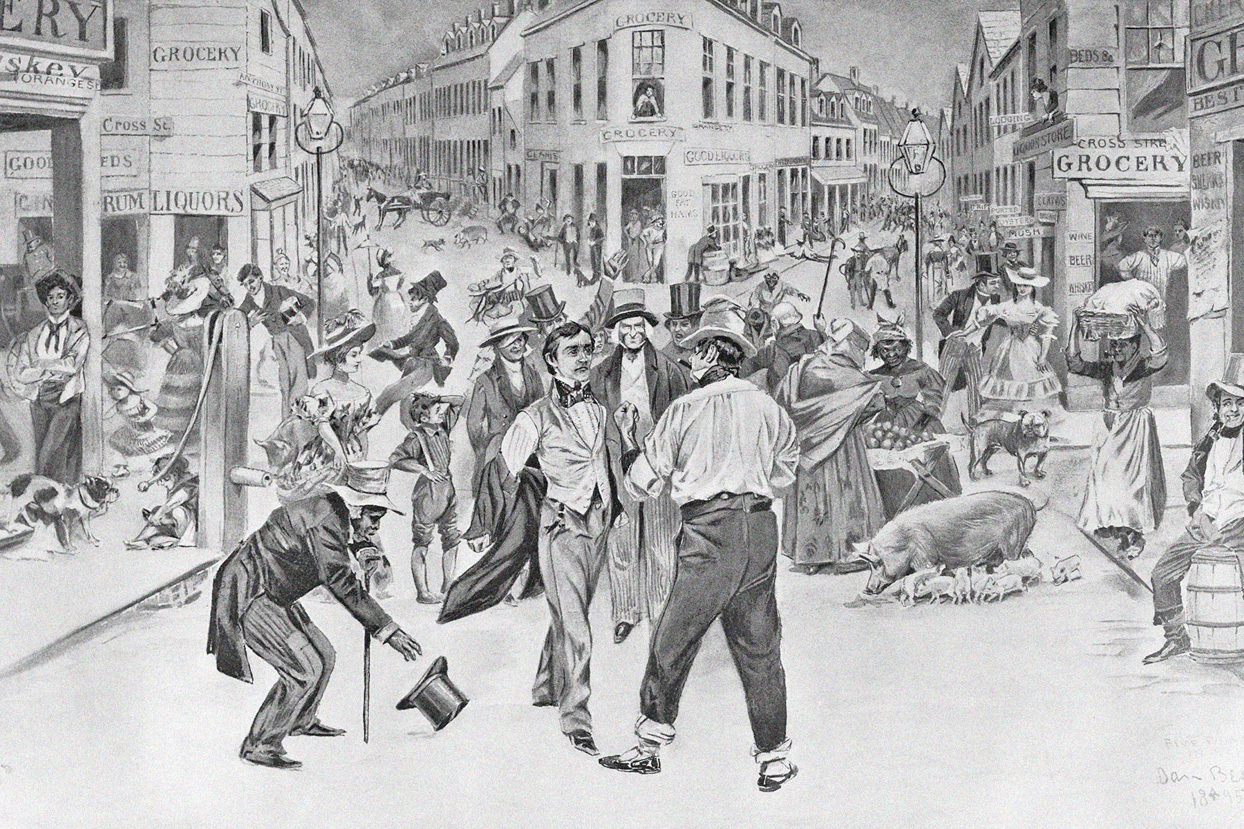
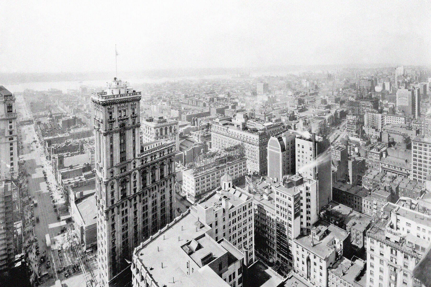
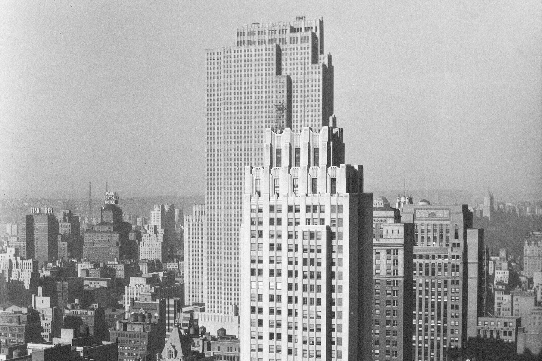
Seattle, Washington
Seattle was hardly a desirable place to live in the early 1970s; following years of layoffs by aerospace giant Boeing, a billboard appeared near the airport, reading, “Will the last person leaving SEATTLE — Turn out the lights.” To say the least, the Emerald City has recovered quite nicely since then. Boeing moved its corporate headquarters to Chicago in 2001 but has since been replaced in Seattle by the sprawling urban campuses of Google and Amazon, the latter boasting its conspicuous Spheres in the Denny Triangle neighborhood.
Other projects have boosted Seattle’s standing among major American cities, from the creation of Freeway Park and the aquarium in the mid-1970s, to the construction of dedicated stadiums for Seattle’s baseball and football teams around the turn of the century. Meanwhile, the tourist-heavy downtown area has also undergone transformation, with the Great Wheel presenting another waterfront attraction and scenic Overlook Walk replacing the Alaskan Way Viaduct, the elevated freeway that was damaged in a 2001 earthquake.
But perhaps the biggest difference between Seattle of the 1970s and today? There was only one Starbucks in existence then, as opposed to the 90-plus stores that populate the city now, among the 17,000 spread across the United States.
You may also like


More from our network


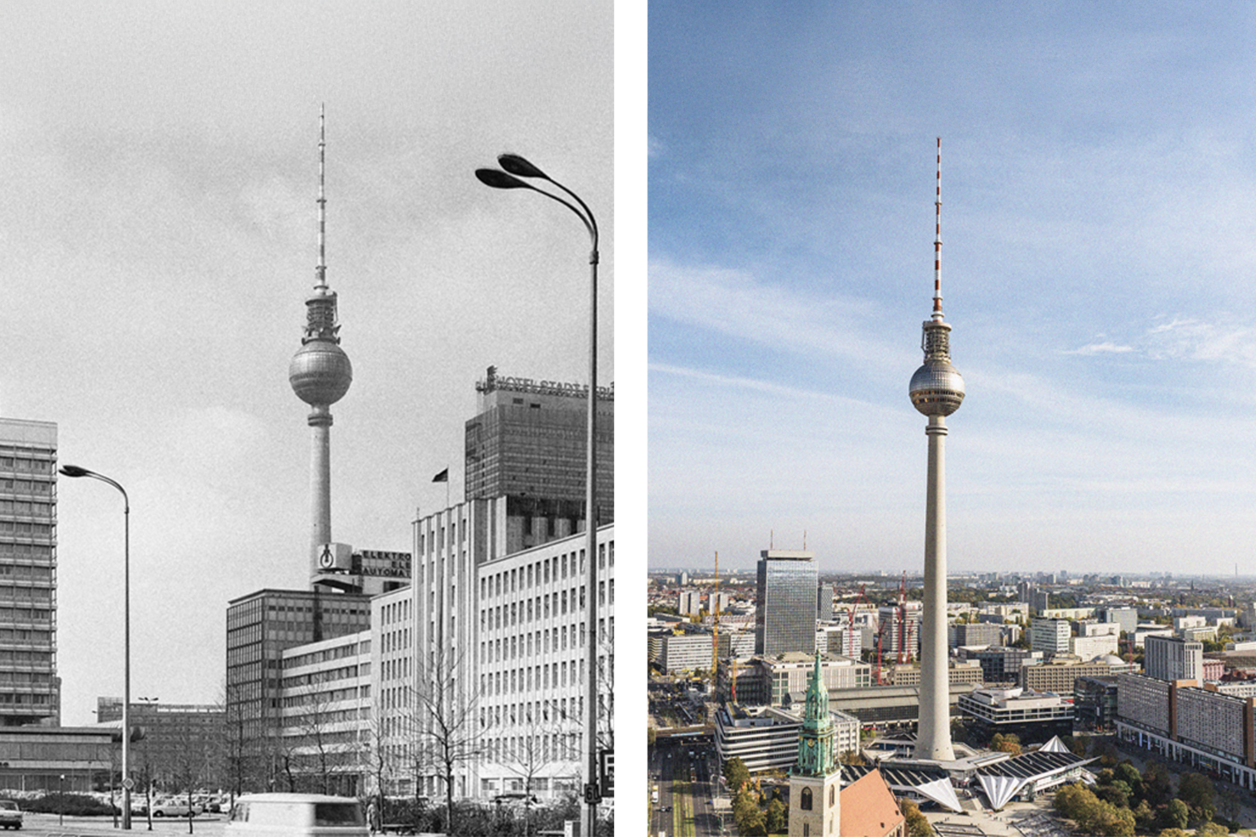
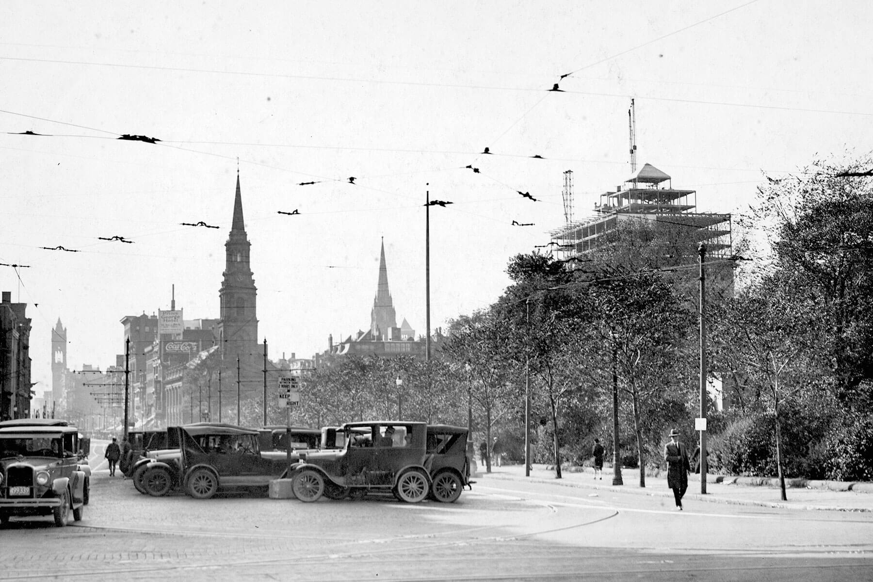
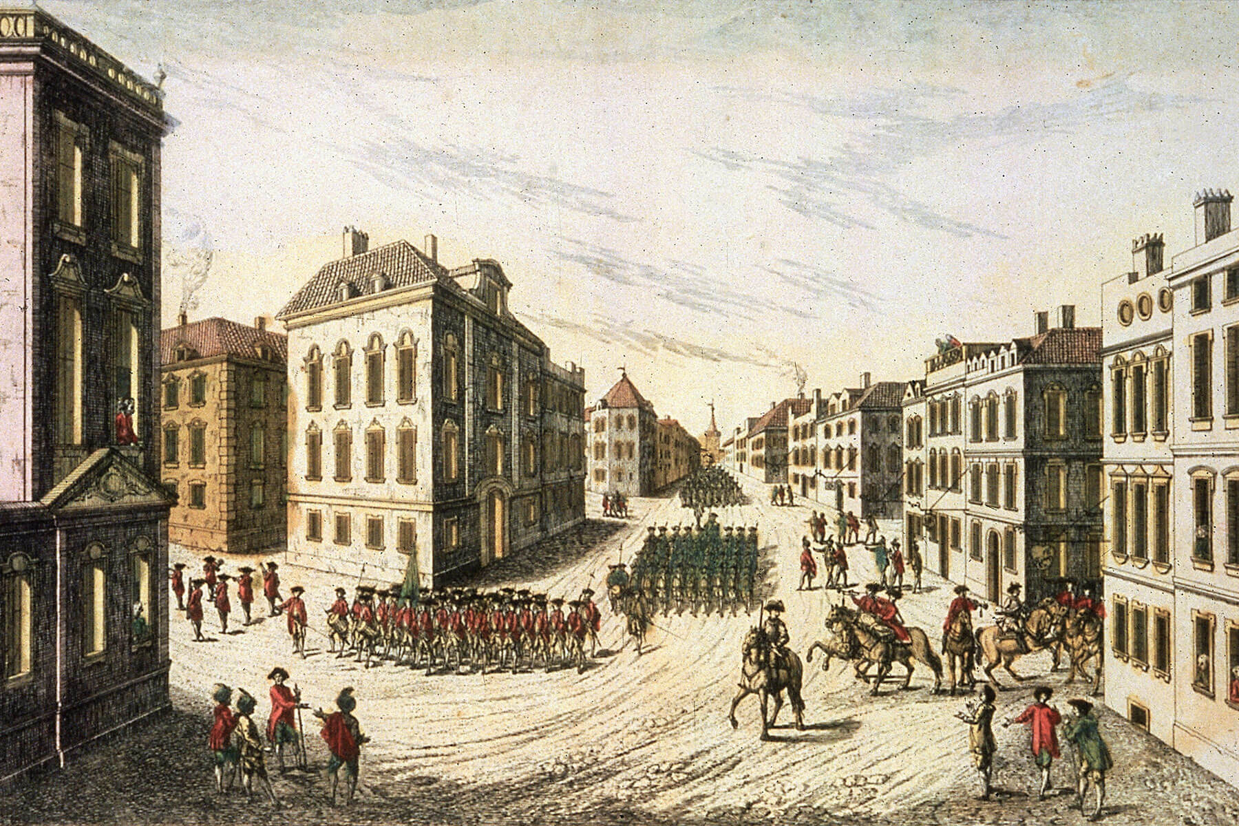
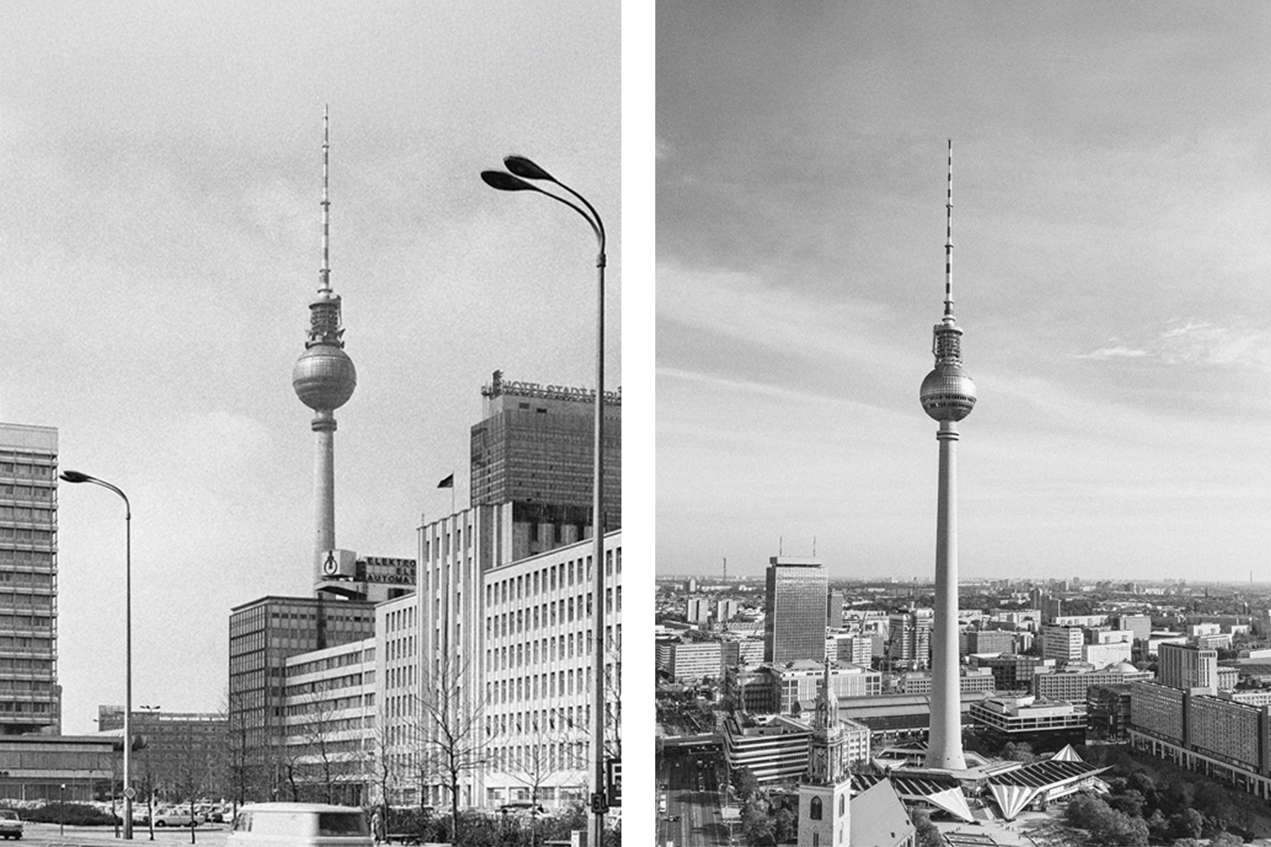
Berlin, Germany
Without question, the biggest difference between the German capital today and 50 years ago is the eradication of the Berlin Wall that divided the city from 1961 to 1989. The wall still exists in bits and pieces, some portions standing as memorials and another hosting the longest open-air art gallery in the world. But the physical and symbolic barrier has given way to efforts to unify the German capital.
The East German Palace of the Republic was torn down in the early 2000s, as design competitions were held to revitalize Potsdamer Platz in the center of the city. Meanwhile, most of the 16 public parks proposed in a 1994 landscape plan have been developed, while the launch of the large Holzmarkt urban market and cultural center along the Spree River underscores how the modern sensibilities of West Berlin have spread to the rest of the city.
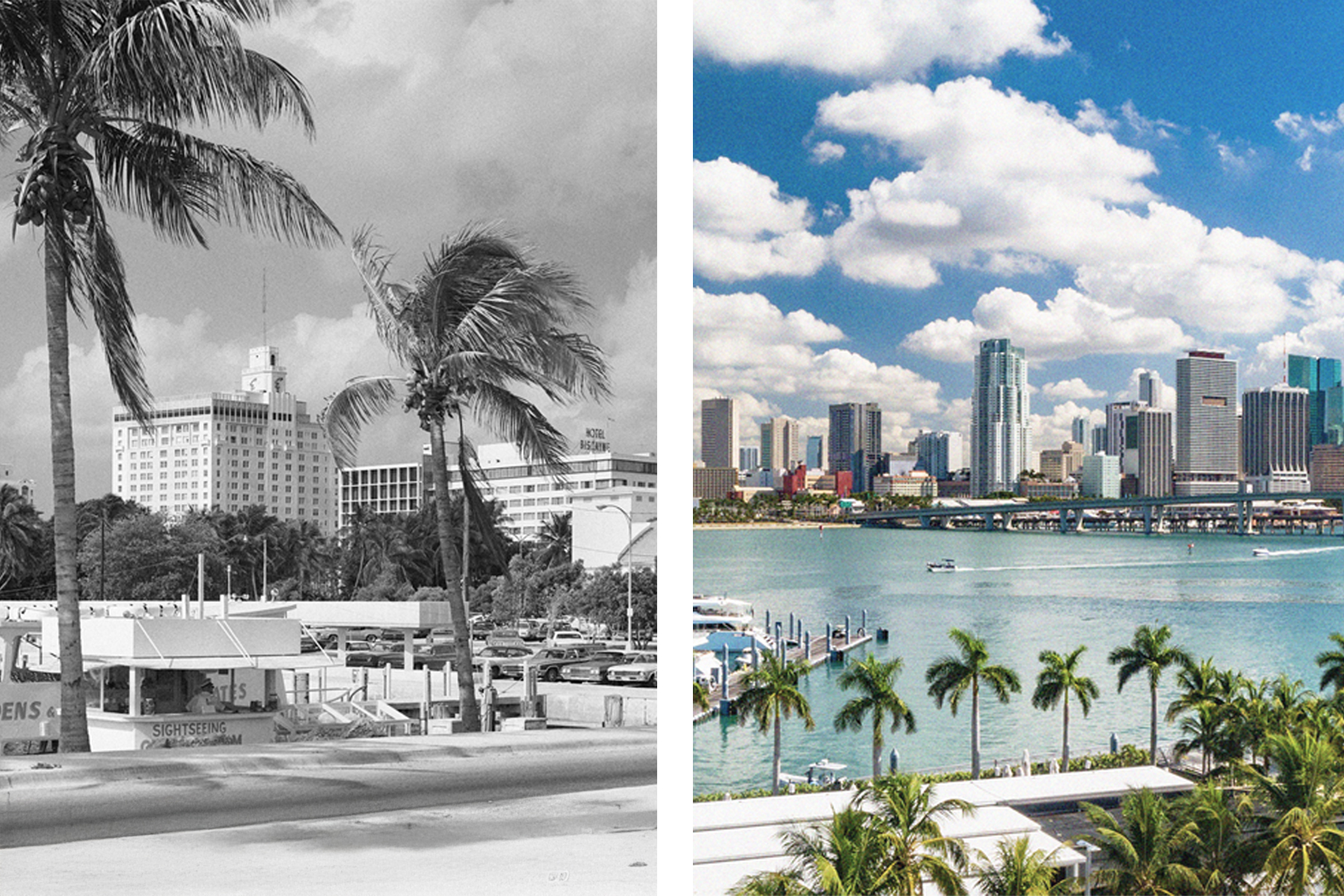
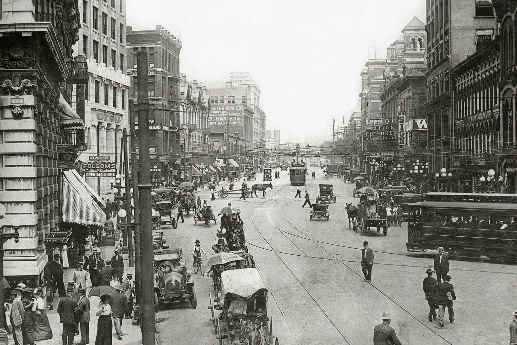
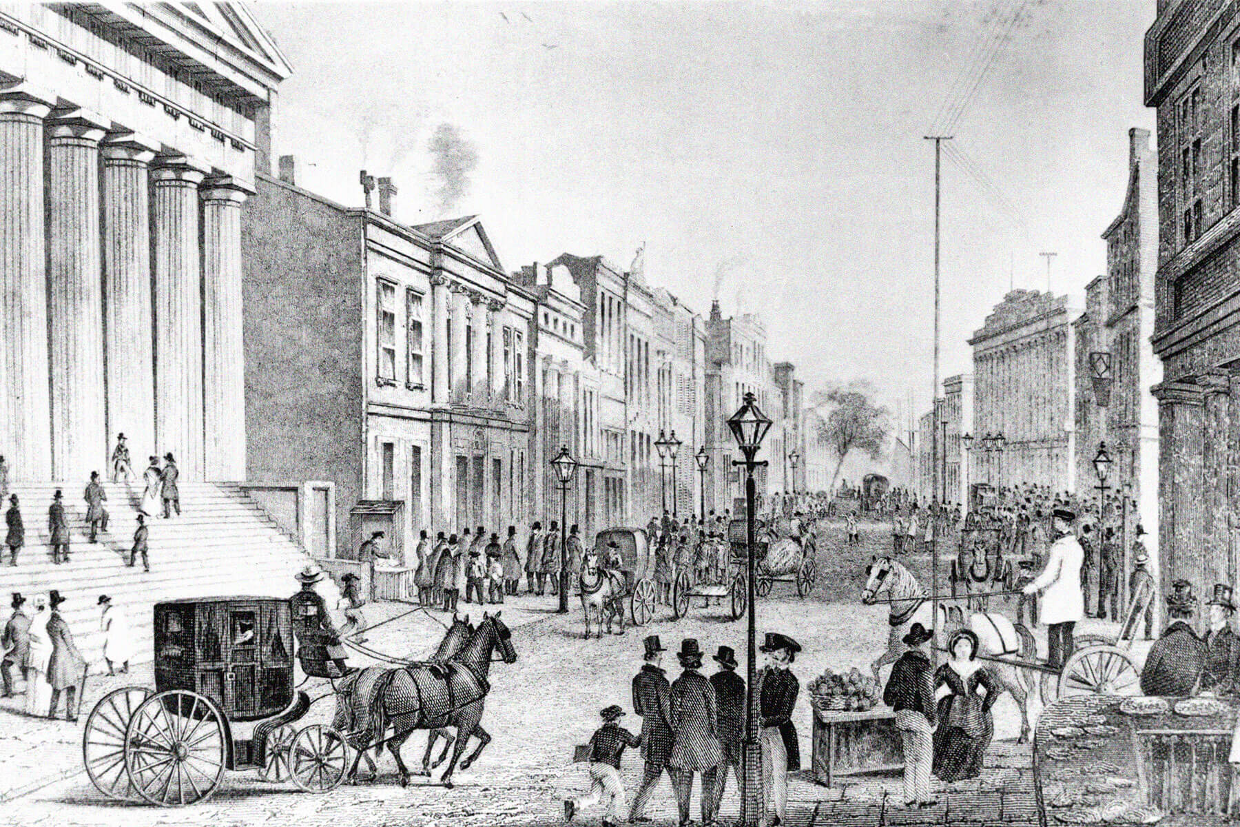
Miami, Florida
Miami has long been a draw for its year-round favorable weather, but there are some stark differences between the beach town of 50 years ago and the metropolis of today. As with other cities on this list, one of the obvious changes are the soaring skyscrapers; Miami had 18 of the top 100 tallest buildings in the country as of March 2024, with the number of buildings reaching more than 300 feet tall increasing by 66% over the previous decade alone.
The money flowing from investors has also made a mark closer to eye level, with Lincoln Road transformed into a world-renowned shopping district and once-quieter neighborhoods such as Wynwood and Sunset Harbor emerging as coveted real estate.
Other areas have undergone major cultural changes by way of demographics, with Cuban and Haitian immigrants pouring in from the 1960s through the 1980s to form the bustling Little Havana and Little Haiti districts. As for public attractions, Miami now boasts the acclaimed Adrienne Arsht Center for the Performing Arts and new homes for the Jorge M. Pérez Art Museum and Phillip and Patricia Frost Museum of Science, while the Kaseya Center and LoanDepot park host professional sports teams in place of the now-demolished Orange Bowl.
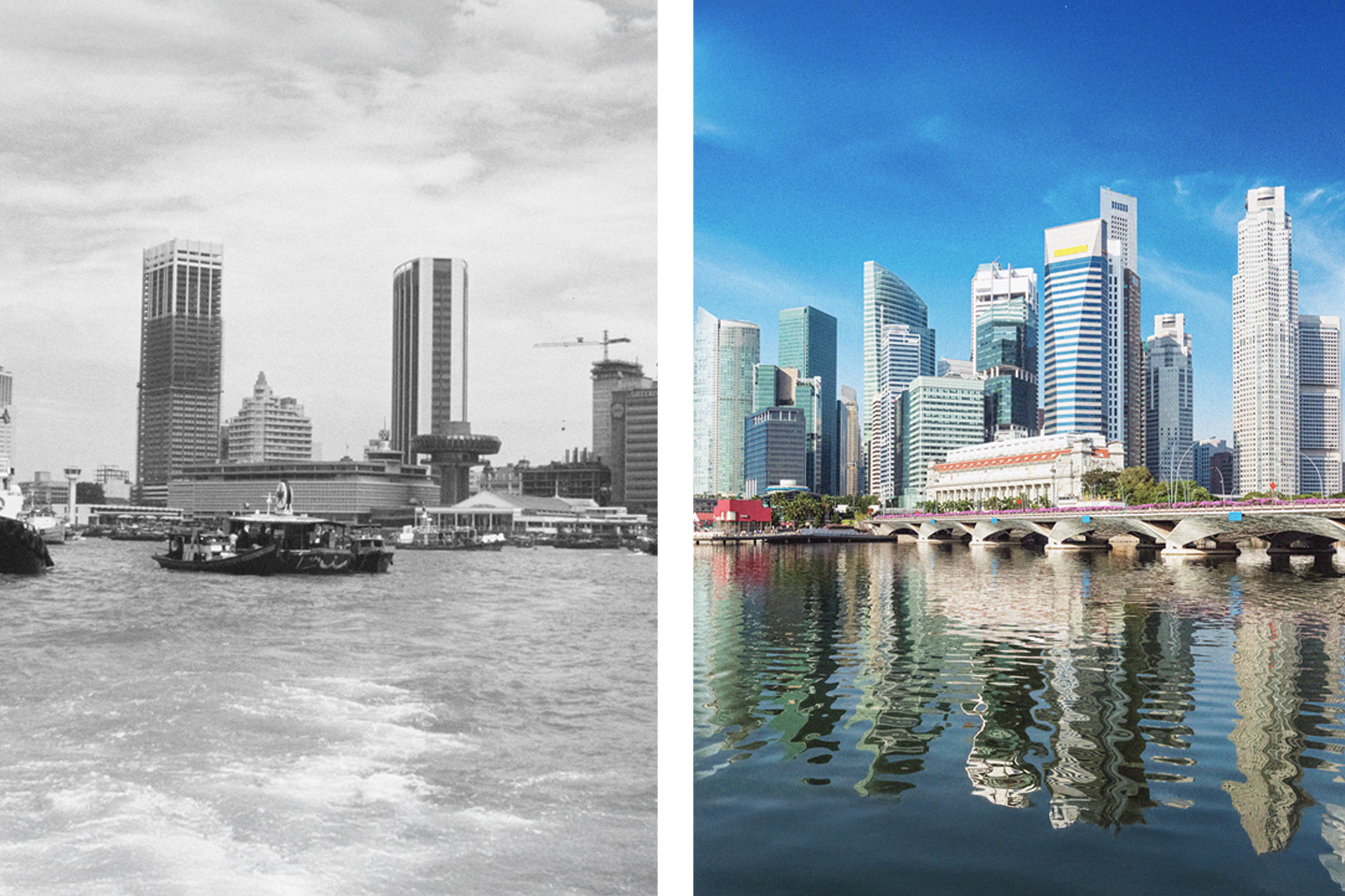
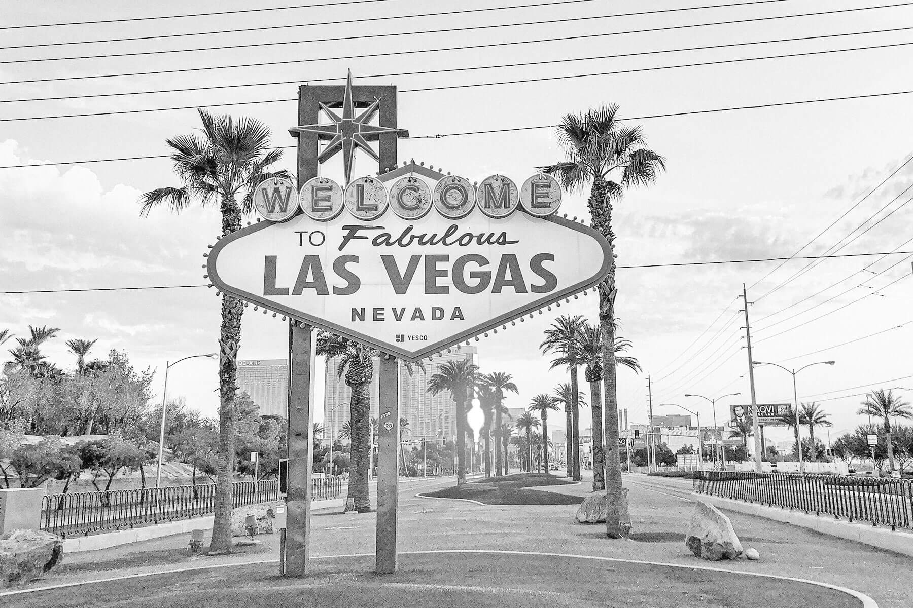
Singapore
In 1975, Singapore had been independent for 10 years and was 15 years into the widespread public housing construction program that encompassed most of the city-state. But more extreme changes were also underway, thanks to geopolitical alliances and foreign investments that transformed this tiny nation into one of the world's strongest economies. Most striking, of course, is the skyline — most of the nearly 100 buildings that stand almost 500 feet tall were raised over the past 50 years.
Other major construction projects include the conversion of the royal air force base into the world-renowned Changi Airport, and the development of the artificial Jurong Island, home of the nation's chemical and energy industry. Singapore has also demonstrated that modernization can work in tandem with an environmental focus; nearly 10,000 acres of parks and green spaces have been created since the mid-1970s, with the city’s Gardens by the Bay, featuring the world's largest glass greenhouse and concrete and steel "supertrees," standing as a crowning achievement.
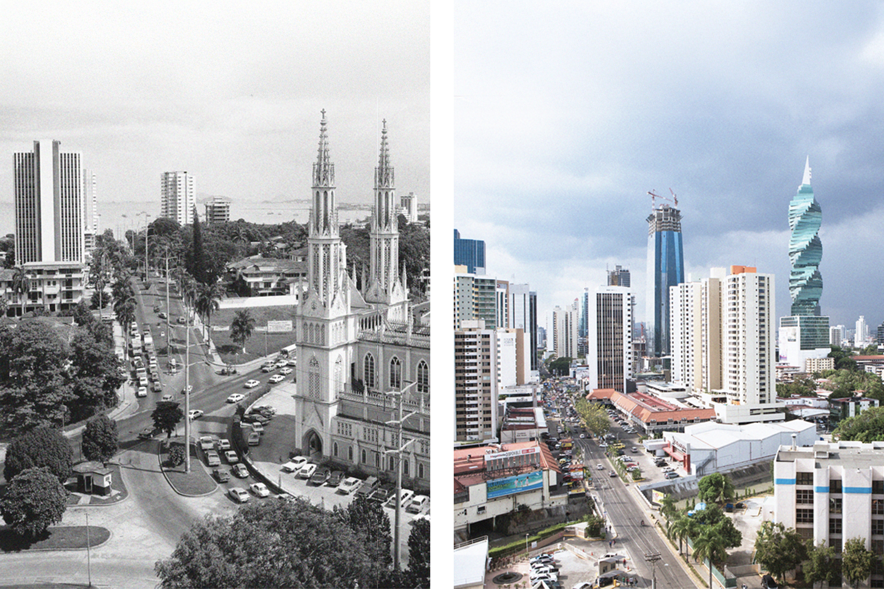
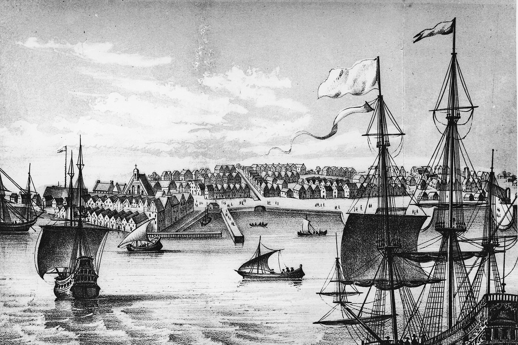
Panama City, Panama
Similar to Berlin, Panama's capital stands on the outskirts of a human-made feature that has altered the course of the city's history. In this case, the Panama Canal has spelled economic good fortune for the area, especially after ownership of the crucial trade channel passed back into local control at the start of the new millennium.
A construction boom that began a few years later pushed the city to the skies, with more than three dozen of the largest skyscrapers built between 2008 and 2014. The city's urban footprint also expanded by 55% from 2000 to 2020.
Major civic works including the expansion of Tocumen International Airport and the launch of the Panama City Metro improved the traveling experience to and around the capital, while the 64-acre Cinta Costera parkland along the waterfront provides the play space for both locals and high-rolling visitors to Central America's richest country.