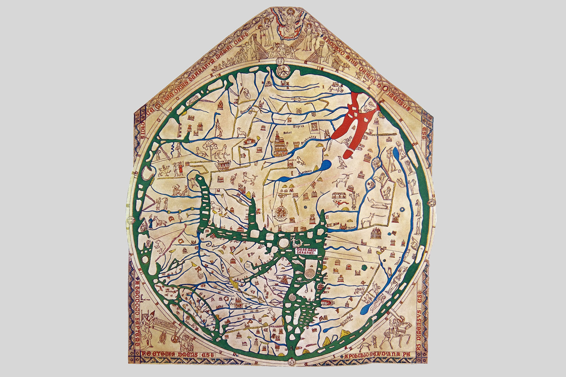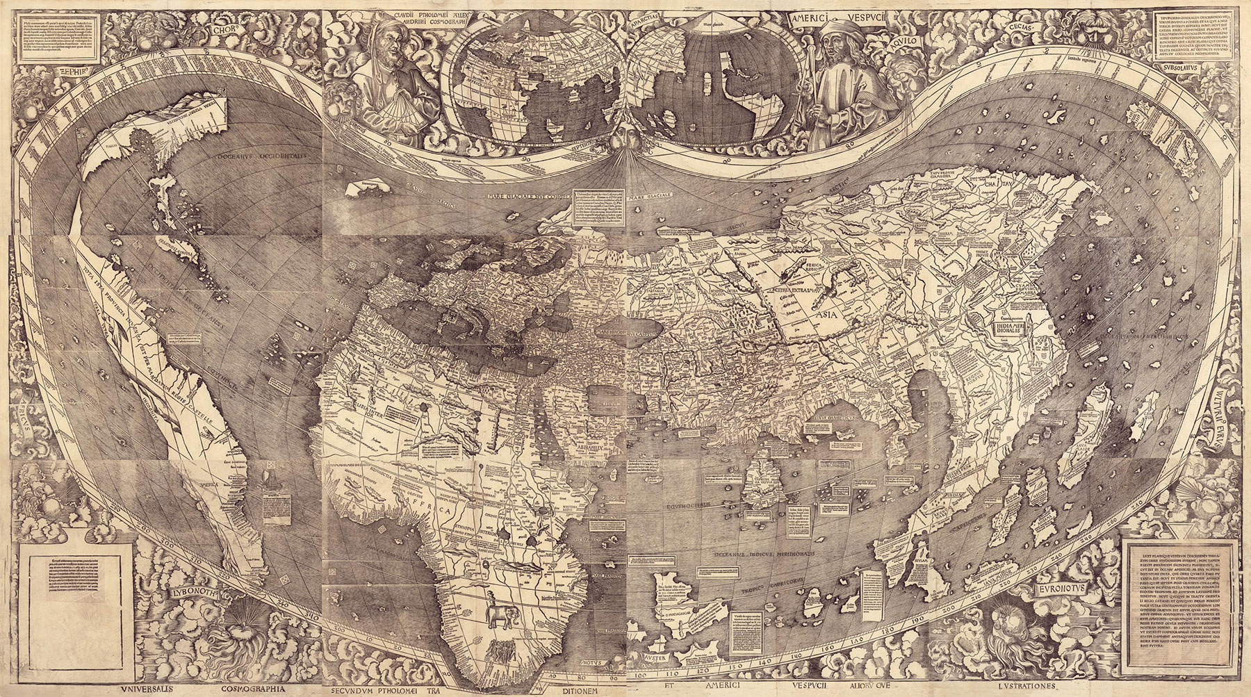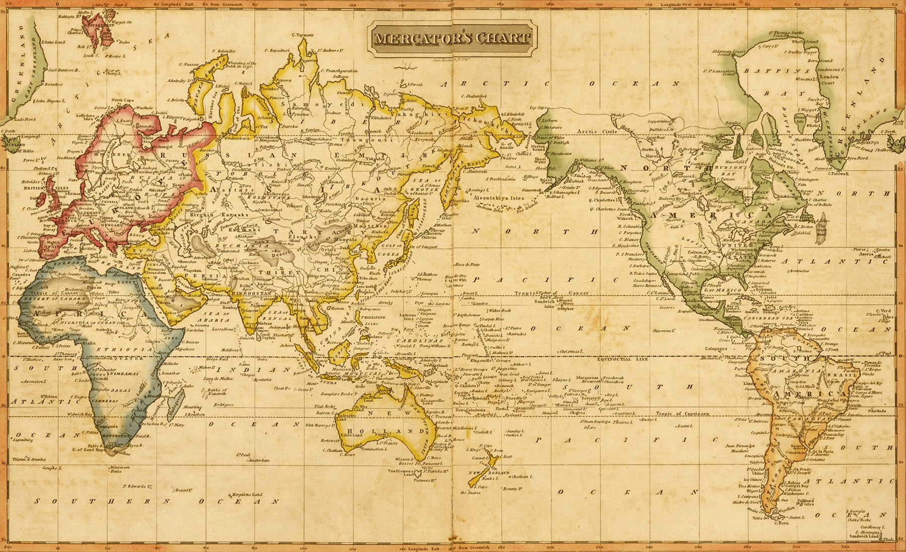
13 Facts About the 13 Original Colonies
Founded in the 17th and 18th centuries on the East Coast of what is now the U.S., the 13 British colonies in America were established for different reasons and governed in different ways. Maryland, for instance, was founded as a religious haven for English Catholics, while royal colonies such as New Hampshire were established to generate wealth for England. Despite their differences, all 13 colonies eventually became united in their resistance to British rule. At the start of the American Revolutionary War in 1775, there were more than 2.5 million people — a mix of European colonists, enslaved Africans, and Indigenous peoples — living in the colonies, from New Hampshire in the North to Georgia in the South. Here are 13 interesting facts that you may not have learned about the 13 original colonies.
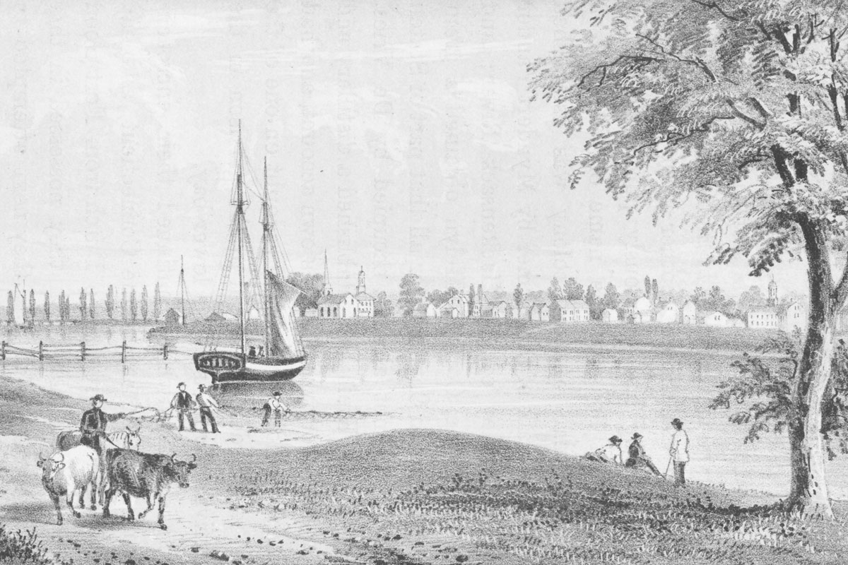
New Hampshire Was the First Colony to Grow Potatoes
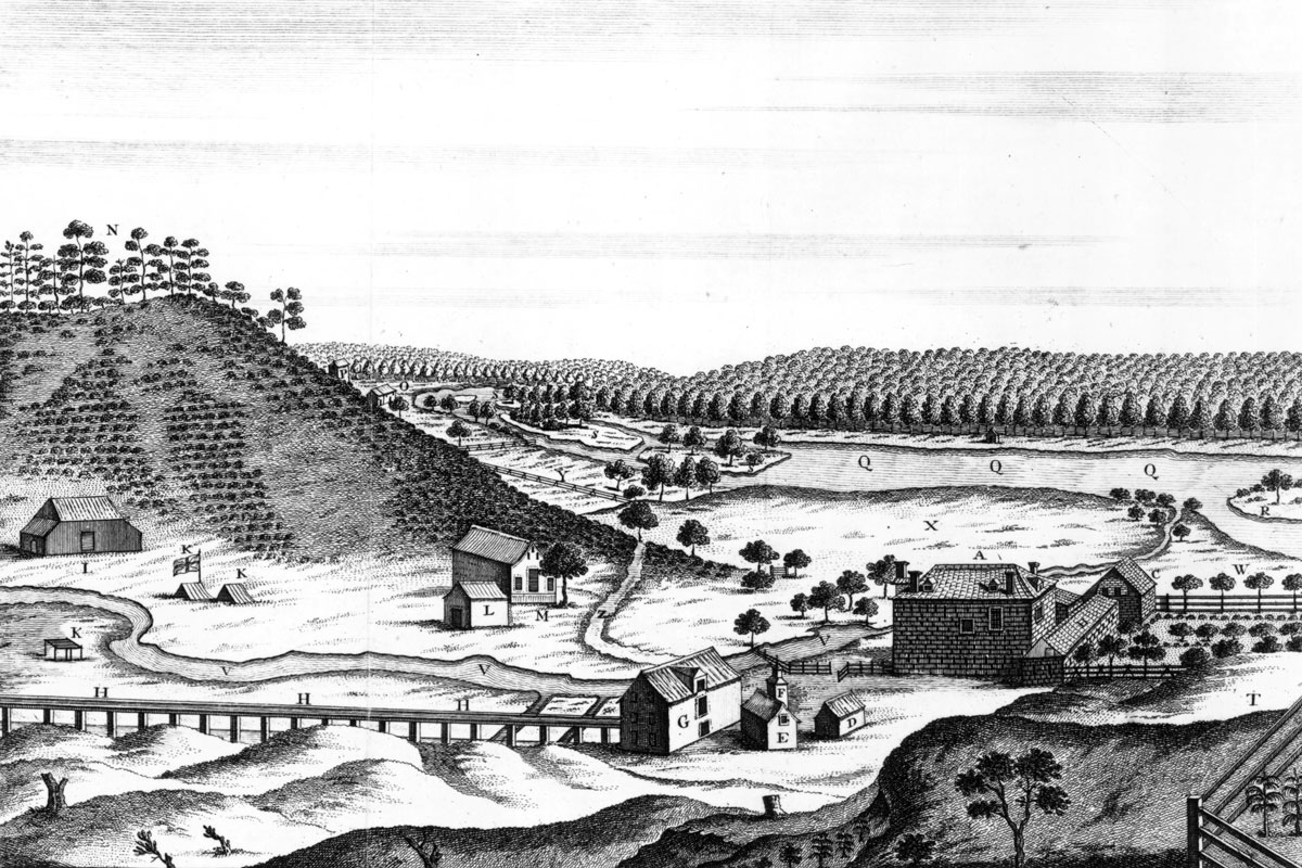
New Hampshire was the first of the American colonies to form an independent government, as well as the first colony to have a state constitution. Yet it’s the humble potato that might be the Granite State’s biggest contribution to American history. Potatoes were brought to the colonies several times during the 1600s, but it wasn’t until 1719 that the first permanent potato patches were established by Scotch-Irish immigrants near Londonderry, New Hampshire. From there, the popularity of potatoes spread, making them the most commonly consumed vegetable in the U.S. today — and, since 2013, the state vegetable of New Hampshire.
You may also like


More from our network


Massachusetts Was Named for Its Indigenous Peoples
In 1620, English settlers, many of whom were religious pilgrims, arrived on the Mayflower in what is now Plymouth, Massachusetts, forming the second permanent settlement of British colonists in the New World (after Jamestown, Virginia, in 1607). A larger group of English Puritans followed soon after, and established the Massachusetts Bay Colony. Indigenous peoples had been living on the land for thousands of years, and the colony was named for the Massachusett tribe, making the Bay State the first of the colonies to be given an Indigenous name. The name “Massachusett” comes from the Algonquin word “Massa-adchu-es-et,” which roughly translates as “great-hill-small-place.”
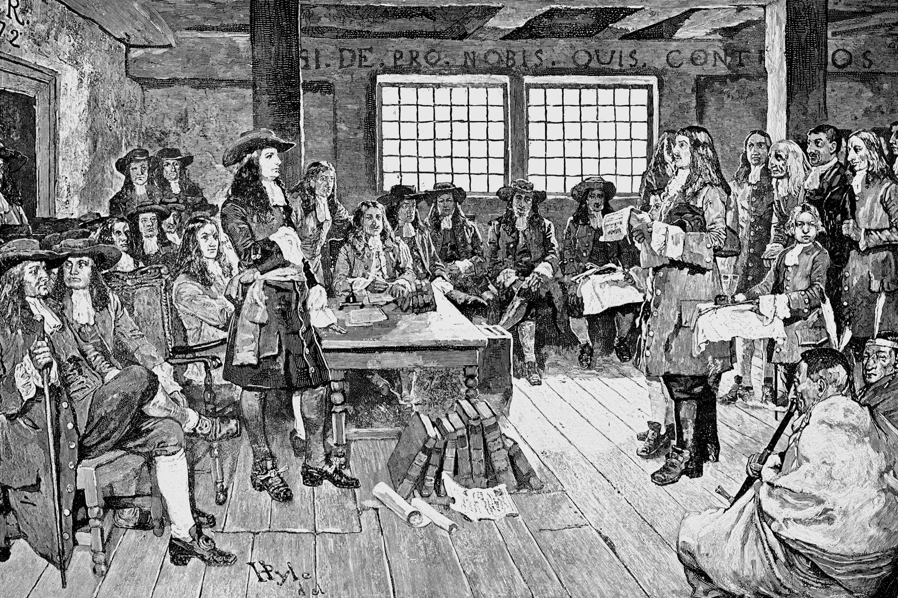
Connecticut’s Royal Charter Was Hidden in a Tree
In 1662, the Colony of Connecticut was granted a royal charter by England’s King Charles II. But in 1686, King James II, after taking the throne following his brother’s death, decided he wanted the royal charters returned so he could establish the Dominion of New England. James wanted to combine the New York, New Jersey, and New England colonies under the leadership of one royal-appointed official. The colonists refused, because the charter guaranteed them the ability to self-govern and elect their own officials without interference from England. Legend has it that while the matter was being debated in Hartford between the royal governor and the colonists, the candles in the meeting hall suddenly went out. Under cover of darkness, the royal charter was spirited away by colonial captain Joseph Wadsworth and hidden in the trunk of a nearby white oak tree. The tree came to be known as the Charter Oak, a symbol of freedom and, in time, the Connecticut state tree.
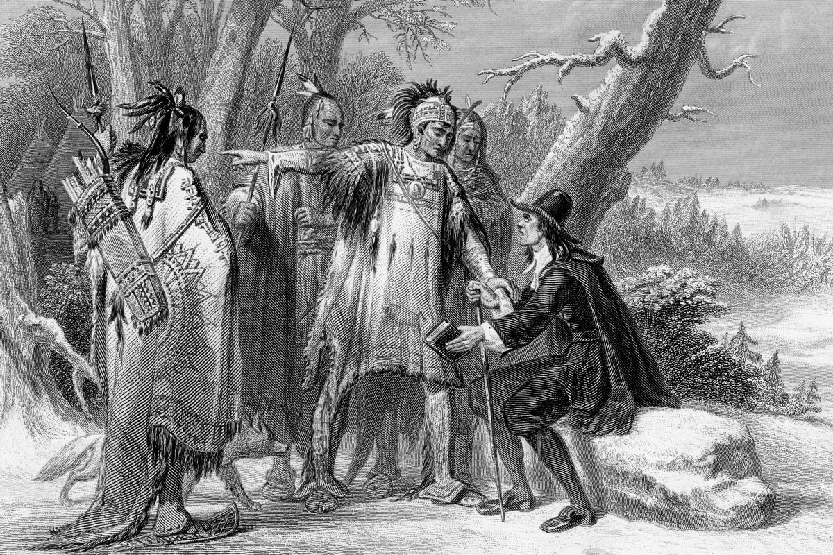
Rhode Island’s Founder Was Kicked Out of Massachusetts
The founder of Rhode Island, Roger Williams, also established the first Baptist church in colonial America, and his views about religious freedom led to his banishment from the Massachusetts colony. In 1636, the banished Williams and his followers purchased land from the Narragansett people (Williams had disapproved of how land was being taken from the Indigenous population) and settled on Narragansett Bay. Rhode Island was governed on the basis of religious freedom and the separation of church and state — making it a haven for religious minority groups, including Baptists, Quakers, and Jews. In 1763, the Touro Synagogue was dedicated in Newport, Rhode Island, making it the first Jewish synagogue in New England and only the second synagogue in the colonies, after the one in New York.
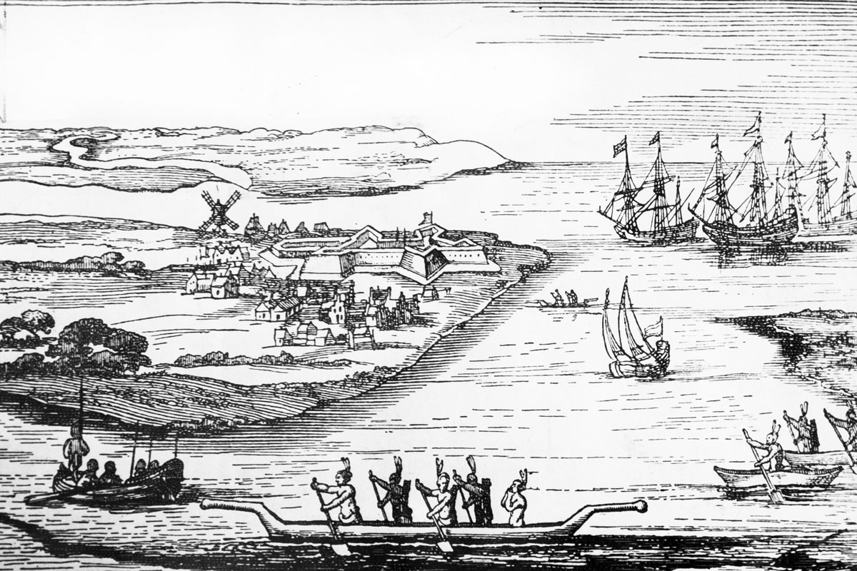
New York Was Established by the Dutch
When the Pilgrims left England in 1620, they were sailing for the Hudson River, because they had heard good reports about the area following English explorer Henry Hudson’s Dutch-sponsored journey in 1609. Unfavorable weather conditions led the pilgrims to settle near Cape Cod instead, but their impending arrival in the New World spurred the Dutch traders to colonize Manhattan before the English could arrive and stake their claim. The colony of New Netherland was established by the Dutch West India Company in 1624, encompassing parts of modern-day New York, Connecticut, and New Jersey, and Dutch settlers established the settlement of New Amsterdam on the island of Manhattan. Forty years later, the English took control and renamed the area New York. The city went on to become the first United States capital after the American Revolution.
New Jersey Is Home to One of the Oldest Colonial Legends
Early American history is filled with myths and legends, many of which were based on Indigenous folklore. One of the most enduring mythical creatures from the original colonies is the Jersey Devil, a terrifying beast said to stalk the forests of New Jersey’s Pine Barrens (also called the Pinelands). Different versions of the story exist, but all share a similar narrative: In 1735, a woman named Mother Leeds learned she was pregnant with her 13th child and cried out, “Let it be the devil!” She then gave birth to a monstrous “devil baby” who flew out the window into the forest. The legend is rooted in the different cultural and religious beliefs held by both the European colonists and the Lenape people who lived in the area.
Pennsylvania Was Founded as Payment for a Debt
Several of the original colonies were established under proprietary charters, with land grants given to individuals based on their relationship with England’s king. In 1681, English Quaker writer and intellectual William Penn secured a large grant of land from King Charles II as payment for a debt the king owed to Penn’s father. The king gave the younger Penn the territory between Maryland and New York, allowing Penn to establish the Province of Pennsylvania, named for his father. The colony was known for being a safe haven for Quakers, and open to all faiths.
Delaware Also Declared Independence From Pennsylvania
In 1682, the year after the Pennsylvania colony was established, the Duke of York sold William Penn the deed to three counties in lower Pennsylvania that make up modern-day Delaware. At first, the three counties were governed as part of Pennsylvania, but in 1704, they were allowed to form their own separate elected legislature. This division created two colonial assemblies, the “Upper Counties” of Pennsylvania and the “Three Lower Counties on Delaware,” governed by a single governor. On June 15, 1776, Delaware declared itself independent from both British and Pennsylvania authority.
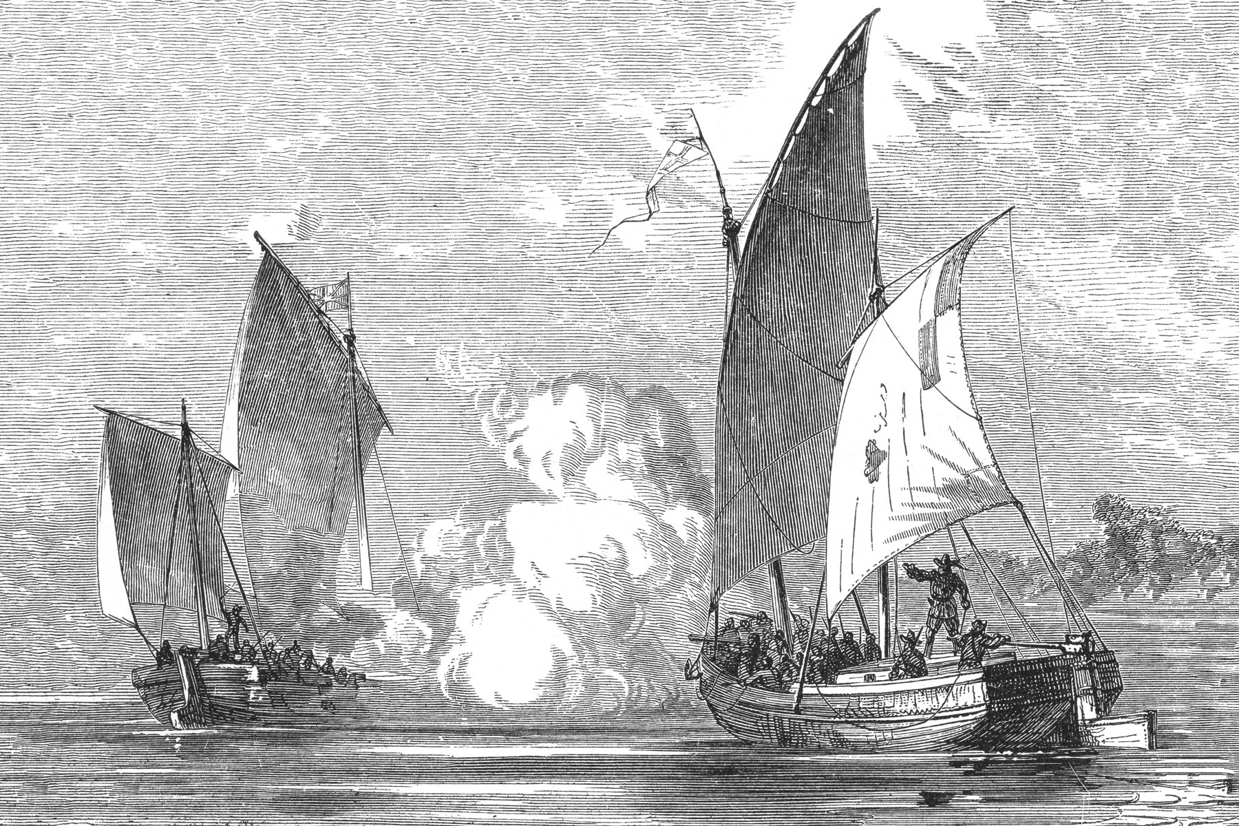
Maryland’s First Documented Pirate Was a Leader of the Virginia Colony
The Delmarva Peninsula separates the Chesapeake Bay from the Atlantic Ocean, which made the bay very attractive to pirates and privateers in the early days of the colonial settlements. The first act of piracy in Maryland history was committed in 1635 by William Claiborne, a member of the Council of Virginia. Claiborne had established a settlement and trading post on Kent Island, which was a part of the Virginia colony at the time. However, when King Charles I granted a royal charter to George Calvert, Lord Baltimore, the map was redrawn to include Kent Island in the Maryland territory. Refusing to relinquish his claim to the island, Claiborne ordered his men to raid a Maryland fur trading port on Palmer Island (modern-day Garrett Island) and went on to attack Maryland ships in Chesapeake Bay. Claiborne’s rebellion eventually led to the Maryland Assembly charging him with “grevious crimes of pyracie and murther.”
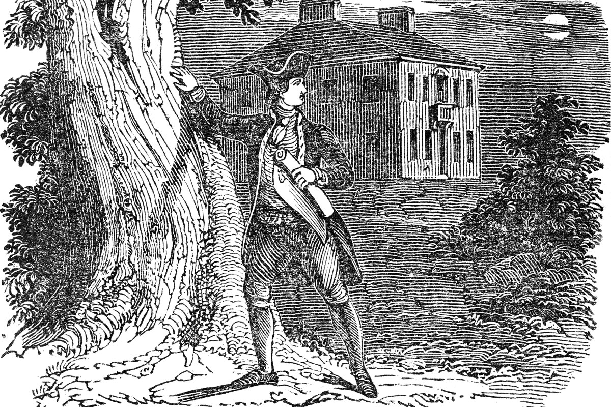
Virginia Had Witchcraft Trials, Too
About two dozen trials for witchcraft took place in Virginia between 1626 and 1730, the most famous of which was the trial of Grace Sherwood, who was convicted of witchcraft after enduring a trial by water method known as “ducking.” On July 10, 1706, Sherwood’s thumbs were tied to her toes and she was “ducked” in the Lynnhaven River. The belief was that an innocent person would sink and drown, while a true witch would survive the ordeal. After being thrown from a boat, Sherwood was able to free herself and float, thus securing her conviction for witchcraft. She became known as the “Witch of Pungo” and spent several years in jail before eventually being released.

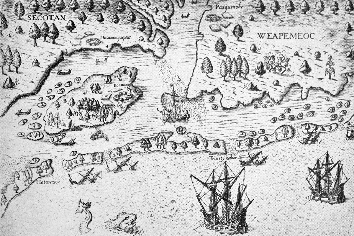
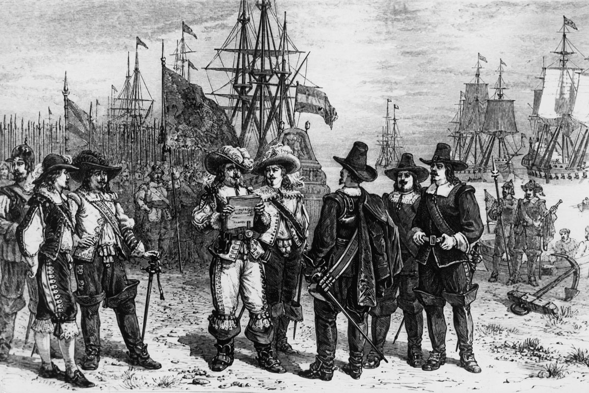
North Carolina’s “Lost Colony” of Roanoke Remains a Mystery
In 1587, two years after the first failed attempt to establish a settlement on North Carolina’s Roanoke Island, a group of more than 100 English colonists made a second attempt, forming the first English outpost in the New World. John White, the governor of the new colony, left his family to return to England for supplies, but when he finally made it back to Roanoke in 1590, everyone was gone, including his daughter and granddaughter, Virginia Dare, the first English child born in the Americas. DNA and archaeological research suggest the group may have split up, with the majority going to live on Hatteras Island with the Croatoan people, and the rest going to live near the Chowan River near the North Carolina border. But more than 430 years later, there are still more questions than answers about what’s become known as the “Lost Colony” of Roanoke.
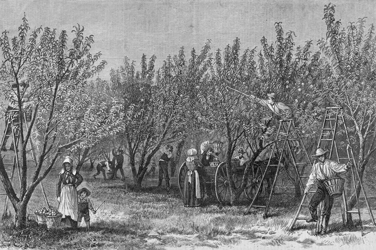
South Carolina Had a Booming Indigo Trade
South Carolina was the first of the colonies to successfully grow indigo — a crop so vital to the colony’s economy that it was referred to as “blue gold.” Indigo’s production, and subsequent success in the colonies, is attributed to teenager Eliza Lucas (later Eliza Pinckney), whose father shipped indigo seeds to America from Antigua in the 1730s. Her father also hired Nicholas Cromwell, a dye-making expert from Montserrat, to guide her. Cromwell was caught sabotaging the dye-making process and was dismissed, only to be replaced by his brother Patrick, who was also caught sabotaging Lucas’ production efforts. The Cromwell brothers had good reason for concern: Indigo dye was a major export for Montserrat and competition with South Carolina could ruin the island’s economy. Despite the setbacks, Lucas and the enslaved people on her father’s plantations learned how to successfully process the subtropical bush. They were so successful that when Lucas married Charles Pinckney in 1744, she used her indigo crop as dowry, and the couple shared their seeds with other plantation owners. However, Indigo’s success was dependent on the labor of the enslaved people on the plantations, and the increasing demand for the dye in England unfortunately led to an increase in the number of enslaved laborers to keep up with production.
Georgia Was Founded as a Colony for Social Reform
In 1732, King George II signed a charter that established Georgia as the last of England’s North American colonies. Founded by prison reformer James Oglethorpe and a group of like-minded trustees, Georgia was envisioned as a charity colony for England’s “worthy poor.” The colony laws outlawed slavery and forbade large landholdings. Oglethorpe and the other trustees couldn’t hold office, earn a salary, or own land in the colony. However, the settlers in Georgia, many of whom arrived from other colonies, believed enslaved labor was the only way for the colony to achieve prosperity. Ultimately, the slavery ban, along with many of the other restrictions the trustees had placed, was lifted in 1751.