


Australia used to be called New Holland.
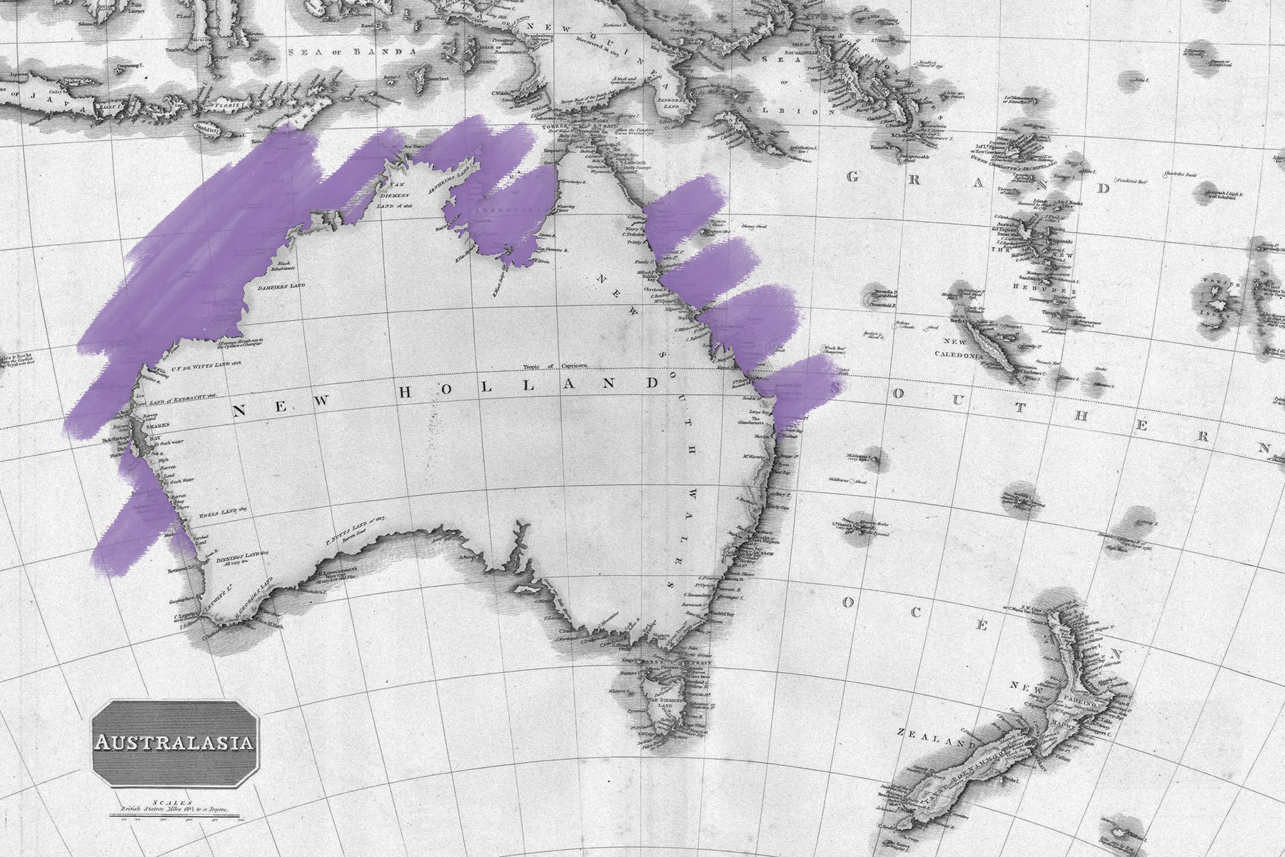
In 1606, toward the end of Europe’s age of exploration, Dutch explorer Willem Janszoon landed on the western side of Australia’s Cape York Peninsula, believing he was on the shores of New Guinea, which is separated from mainland Australia by the Torres Strait. He mapped 186 miles of coastline before departing later that year. Other Dutch navigators followed suit, charting the northern, western, and southern coasts of the landmass. Despite the fact that the Dutch never never colonized Australia, by the late 17th century the continent was known as New Holland (Nieuw-Holland in Dutch) — but the name didn’t last.
In 1768, British explorer James Cook made the first of his three voyages to Australia. Two years later, he claimed the eastern half for Britain and renamed it New South Wales. A secret goal of Cook’s first voyage was to discover what was listed on ancient maps as Terra Australis Incognita (Latin for Unknown South Land), a hypothetical vast landmass that the Greek philosophers theorized must exist in the Southern Hemisphere to counterbalance Asia. By the end of Captain Cook’s third voyage, he had seen portions of Antarctica and mapped enough of New Zealand (also named by Dutch explorers) to disprove that Australia was part of the fabled Terra Australis; rather, a separate southern continent was located in the icy polar region.
In 1803, British navigator Matthew Flinders became the first person to circumnavigate the coast of Australia, charting unknown parts of the coastline and proving that Australia is a single continent. In his journals and maps of the expedition, he harkened back to Terra Australis when naming the continent, but shortened it to Australia. This time, the name stuck. As Flinders wrote in A Voyage to Terra Australis (1814), the new, abridged moniker was “more agreeable to the ear.”


